Whittington, Victoria
| Whittington Geelong, Victoria | |||||||||||||
|---|---|---|---|---|---|---|---|---|---|---|---|---|---|
 Whittington | |||||||||||||
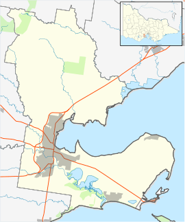
| Coordinates | 38°11′S 144°23′E / 38.18°S 144.39°ECoordinates: 38°11′S 144°23′E / 38.18°S 144.39°E | ||||||||||||
| Population | 4,155 (2011 census)[1] | ||||||||||||
| Postcode(s) | 3219 | ||||||||||||
| LGA(s) | City of Greater Geelong | ||||||||||||
| State electorate(s) | Geelong | ||||||||||||
| Federal Division(s) | Corio | ||||||||||||
| |||||||||||||
Whittington is a residential suburb of Geelong, Victoria, Australia, located 4 km south-east of the city centre. It is bordered by Boundary, Townsend and Coppards roads and by the former Geelong to Queenscliff railway line now known as the Bellarine Rail Trail.[2] At the 2011 census, Whittington had a population of 4,155.[1]
A large part of Whittington is laid out in cul-de-sacs and courts to inhibit traffic and to help create numerous neighbourhood reserves. Whittington contains a shopping centre, a community centre, recreation reserves and the Whittington Primary School.
History
The area of Whittington was originally part of Breakwater, and was named after an early land owner, James Whittington, during the 1920s.[3] A Post Office of that name had been open since 1914 [4]
Notable people
Lee Troop - Olympic marathon runner
Education
Whittington Primary School is a small Primary School located in Whittington, Victoria.
References
- 1 2 Australian Bureau of Statistics (31 October 2012). "Whittington (State Suburb)". 2011 Census QuickStats. Retrieved 11 December 2014.
- ↑ Whittington, Victoria at Australian Place names gazette
- ↑ The History of Whittington / St Albans
- ↑ Premier Postal History, Post Office List, retrieved 2008-04-11