Whitfield, Northamptonshire
| Whitfield | |
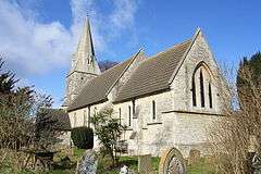 St John the Evangelist's Church in Whitfield |
|
 Whitfield |
|
| Population | 274 (2011) |
|---|---|
| OS grid reference | SP6039 |
| District | South Northamptonshire |
| Shire county | Northamptonshire |
| Region | East Midlands |
| Country | England |
| Sovereign state | United Kingdom |
| Post town | Brackley |
| Postcode district | NN13 |
| Dialling code | 01280 |
| Police | Northamptonshire |
| Fire | Northamptonshire |
| Ambulance | East Midlands |
| EU Parliament | East Midlands |
| UK Parliament | South Northamptonshire |
|
|
Coordinates: 52°03′02″N 1°07′09″W / 52.0506°N 1.1192°W
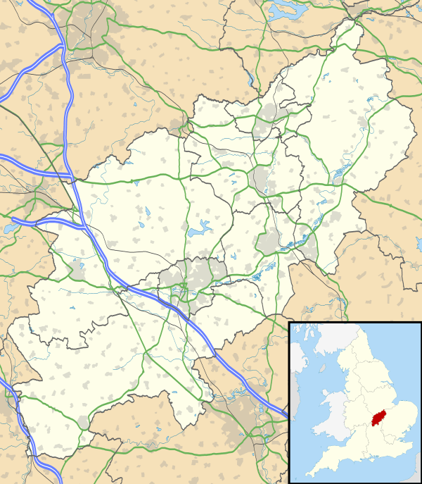
Whitfield is a village in the south-west of the English county of Northamptonshire in the valley of the River Great Ouse which forms the border with Buckinghamshire. Nearby villages include Syresham, Biddlesden, Helmdon and Silverstone. At the time of the 2001 census, the parish had 215 inhabitants,[1] including Radstone and increasing to 274 at the 2011 Census.[2]
The Church of England parish church is dedicated to St John the Evangelist.
References
- ↑ Office for National Statistics: Whitfield CP: Parish headcounts. Retrieved 30 November 2009
- ↑ "Civil Parish population 2011". Neighbourhood Statistics. Office for National Statistics. Retrieved 9 July 2016.
External links
![]() Media related to Whitfield, Northamptonshire at Wikimedia Commons
Media related to Whitfield, Northamptonshire at Wikimedia Commons
This article is issued from Wikipedia - version of the 7/9/2016. The text is available under the Creative Commons Attribution/Share Alike but additional terms may apply for the media files.