Whangaruru
| Whangaruru | |
|---|---|
 | |
 Whangaruru | |
| Coordinates: 35°20′51″S 174°19′35″E / 35.34750°S 174.32639°ECoordinates: 35°20′51″S 174°19′35″E / 35.34750°S 174.32639°E | |
| Country | New Zealand |
| Region | Northland Region |
| District | Whangarei District |
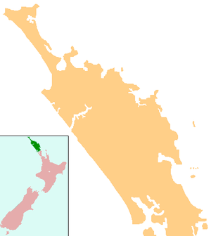
Whangaruru is a locality and harbour on the east coast of Northland, New Zealand. Mokau, Helena Bay, Whakapara, Hikurangi and Whangarei are to the south and the Bay of Islands is to the northwest.[1][2]
The area was reputedly named by Puhimoanariki, the captain of the legendary waka Mataatua, after searching for a long time he found shelter from bad weather there.[3] Whangaruru means "sheltered harbour" in the Māori language.[4]
History
Ngāti Wai is the tribe of the area.
Education
Whangaruru School is a coeducational full primary (years 1-8) school with a decile rating of 1 and a roll of 42 in 2011.[5] The school was founded in 2005 to replace Punaruku, Ngaiotonga Valley and Helena Bay Schools. It is on the site of the old Punaruku School.[6]
Te Kura Hourua ki Whangaruru[7] is a secondary (years 9-13) Partnership School opening in 2014.
External links
| Wikimedia Commons has media related to Whangaruru. |
Notes
- ↑ Peter Dowling (editor) (2004). Reed New Zealand Atlas. Reed Books. pp. map 5. ISBN 0-7900-0952-8.
- ↑ Roger Smith, GeographX (2005). The Geographic Atlas of New Zealand. Robbie Burton. pp. map 21. ISBN 1-877333-20-4.
- ↑ "Whangaruru Travel Guide". Jasons Travel Media.
- ↑ "Whāngārei tribes - Ancestors". Te Ara Encyclopedia of New Zealand.
- ↑ "Education Review Office Report - Whangaruru School 21/06/2011". Ministry of Education.
- ↑ "Mergers, Closures and New Schools, January 2005 - December 2005" (XLS). Education Counts.
- ↑ "Te Kura Hourua ki Whangaruru web site". Te Kura Hourua ki Whangaruru.