Weißer Stein
| Weißer Stein | |
|---|---|
|
Lookout tower on Weißer Stein | |
| Highest point | |
| Elevation | 548 m (1,798 ft) |
| Prominence | 130 metres (430 ft) |
| Coordinates | 49°27′13″N 8°43′24″E / 49.45361°N 8.72333°ECoordinates: 49°27′13″N 8°43′24″E / 49.45361°N 8.72333°E |
| Naming | |
| Translation | White stone (German) |
| Pronunciation | German: [ˈvaɪsɐ ˈʃtaɪn] |
| Geography | |
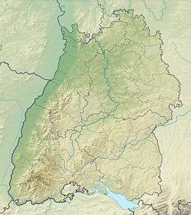 Weißer Stein The location within Baden-Württemberg | |
| Location | Baden-Württemberg, Germany |
| Parent range | Odenwald |

Weißer Stein is the name of a 548-metre (1,798 ft) high hill in the Odenwald, north of Heidelberg and east of Dossenheim.
On Weißer Stein is a 20 m tall lookout tower. It was built in 1906 by the members of the Odenwald club. In good weather other high mountains of the Odenwald can be seen, such as Melibokus, Katzenbuckel, Tromm and Neunkircher Höhe. Near the tower is the Höhengaststätte Weißer Stein tavern with a beer garden.
Nearby is the 108 m (354 ft) tall broadcast tower of the Deutsche Telekom AG (German telephone company) and an additional antenna mast. The broadcast tower is a Type 11.
Coordinates:
- Lookout tower: 8°43'23" East, 49°27'11" North
- Broadcast tower: 8°43'26" East, 49°27'15" North
- Antenna mast: 8°43'17" East, 49°27'10" North
External links
- (German) The tower on the Weißer Stein
 Broadcast tower on Weißer Stein
This article is issued from Wikipedia - version of the 9/10/2015. The text is available under the Creative Commons Attribution/Share Alike but additional terms may apply for the media files.