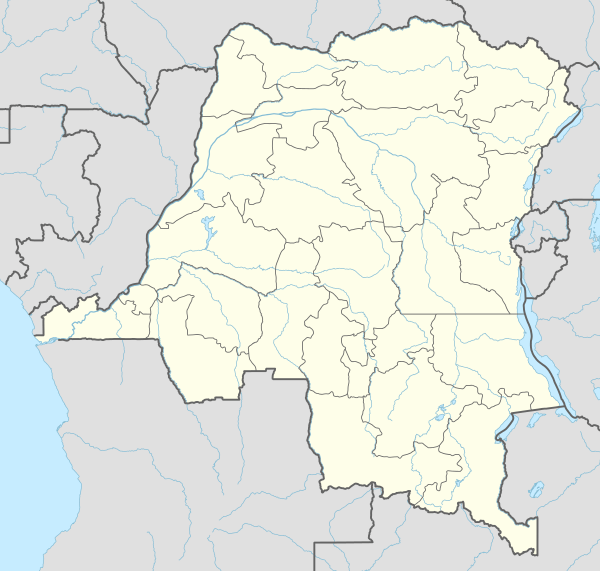
Watsa Territory
| Watsa Territory | |
|---|---|
 Watsa Territory | |
| Coordinates: 3°02′14″N 29°32′08″E / 3.03716°N 29.53551°ECoordinates: 3°02′14″N 29°32′08″E / 3.03716°N 29.53551°E | |
| Country | Democratic Republic of Congo |
| Province | Haut-Uele |
Watsa Territory is an administrative area in the Haut-Uele Province of the Democratic Republic of the Congo. The administrative center is the town of Watsa.
Security issues
During the Second Congo War (1998-2003), in August 1998, Ugandan troops occupied areas of Haut Uele including the town of Durba, the site of the Gorumbwa, Durba and Agbarabo gold mines. Almost one ton of gold was extracted during the four-year period of occupation, worth about $9 million at the time.[1]
At the end of September 2009, fighters from the Lord's Resistance Army LRA combatants were said to have attacked a number of villages in the Durba/Watsa mining area.[2] As of April 2010 Watsa Territory was thought to have about 13,960 Internally Displaced People.[3]
Divisions
The territory is divided into sectors and chiefdoms:[4]
- Andobi Chiefdom
- Kebo Chiefdom
- Ateru Chiefdom
- Andikofa Chiefdom
- Gombari Sector
- Mari-Minza Chiefdom
- Walese Chiefdom
- Mangbutu Sector
- Kibali Sector
References
- ↑ Human Rights Watch (2005). Democratic Republic of Congo, the curse of gold, Volume 2. Human Rights Watch. p. 15. ISBN 1-56432-332-3.
- ↑ Steven Spittaels & Filip Hilgert (17 March 2010). "Mapping Conflict Motives: Province Orientale (DRC)" (PDF). IPIS. Retrieved 2011-10-23.
- ↑ "Population Movements in Eastern DR Congo". OCHA. January–March 2010. Retrieved 2011-10-23.
- ↑ X. Blaes (October 2008). "Découpage administratif de la République Démocratique du Congo" (PDF). PNUD-SIG. Retrieved 2011-11-02.