Warburton Green

Coordinates: 53°22′N 2°19′W / 53.36°N 2.31°W
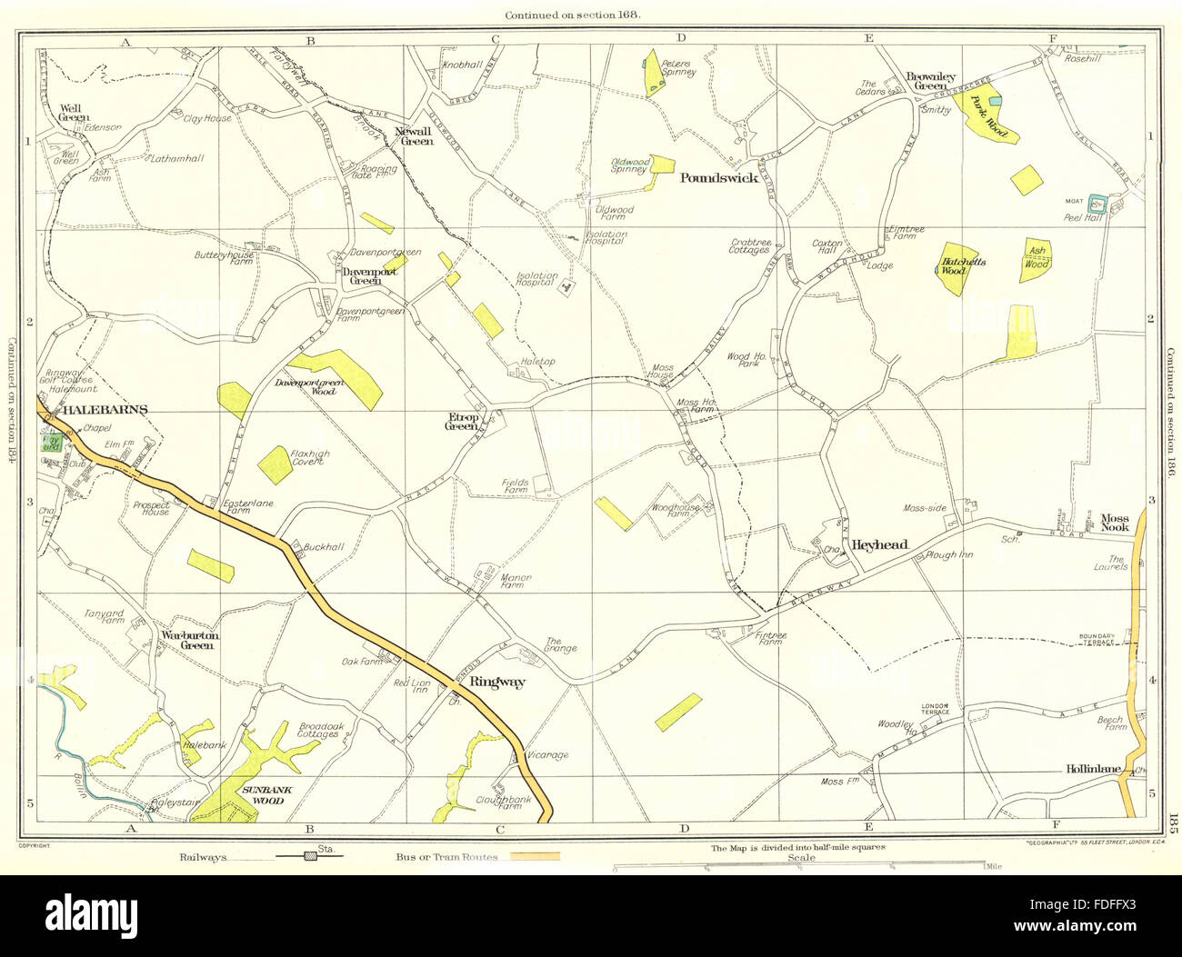
Warburton Green is a district of Hale Barns, Greater Manchester. It is situated to the south east of the centre of the village, close to the M56 and River Bollin. The housing estate grew up around the original hamlet, which was formed by Tanyard Farm and neighbouring properties on Chapel Lane.[1] Warburton Green was originally in Ringway parish.[2]
References
This article is issued from Wikipedia - version of the 11/22/2016. The text is available under the Creative Commons Attribution/Share Alike but additional terms may apply for the media files.