Wapenamanda District
| Wapenamanda District | |
|---|---|
 Location of Enga Province | |
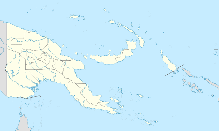 Wapenamanda District Location within Papua New Guinea | |
| Coordinates: 05°38′36″S 143°53′43″E / 5.64333°S 143.89528°E | |
| Country | Papua New Guinea |
| Province | Enga Province |
| Capital | Wapenamanda |
| Area | |
| • Total | 1,042 km2 (402 sq mi) |
| Population (2011 census) | |
| • Total | 71,797 |
| • Density | 69/km2 (180/sq mi) |
| Time zone | AEST (UTC+10) |
Wapenamanda District is a district of Enga Province of Papua New Guinea. Its capital is Wapenamanda. The population of the district was 71,797 at the 2011 census.[1] Wapenamanda Airport is located in this district and serves Enga Province.
There are three secondary schools in the district which are Pausa Secondary formally known as St Paul's Lutheran Secondary School, Highlands Lutheran International School and the newly created Wapenamanda foursquare Secondary.
References
- ↑ Districts of Papua New Guinea at statoids.com
This article is issued from Wikipedia - version of the 8/2/2016. The text is available under the Creative Commons Attribution/Share Alike but additional terms may apply for the media files.