Wangjiawan
Wangjiawan section
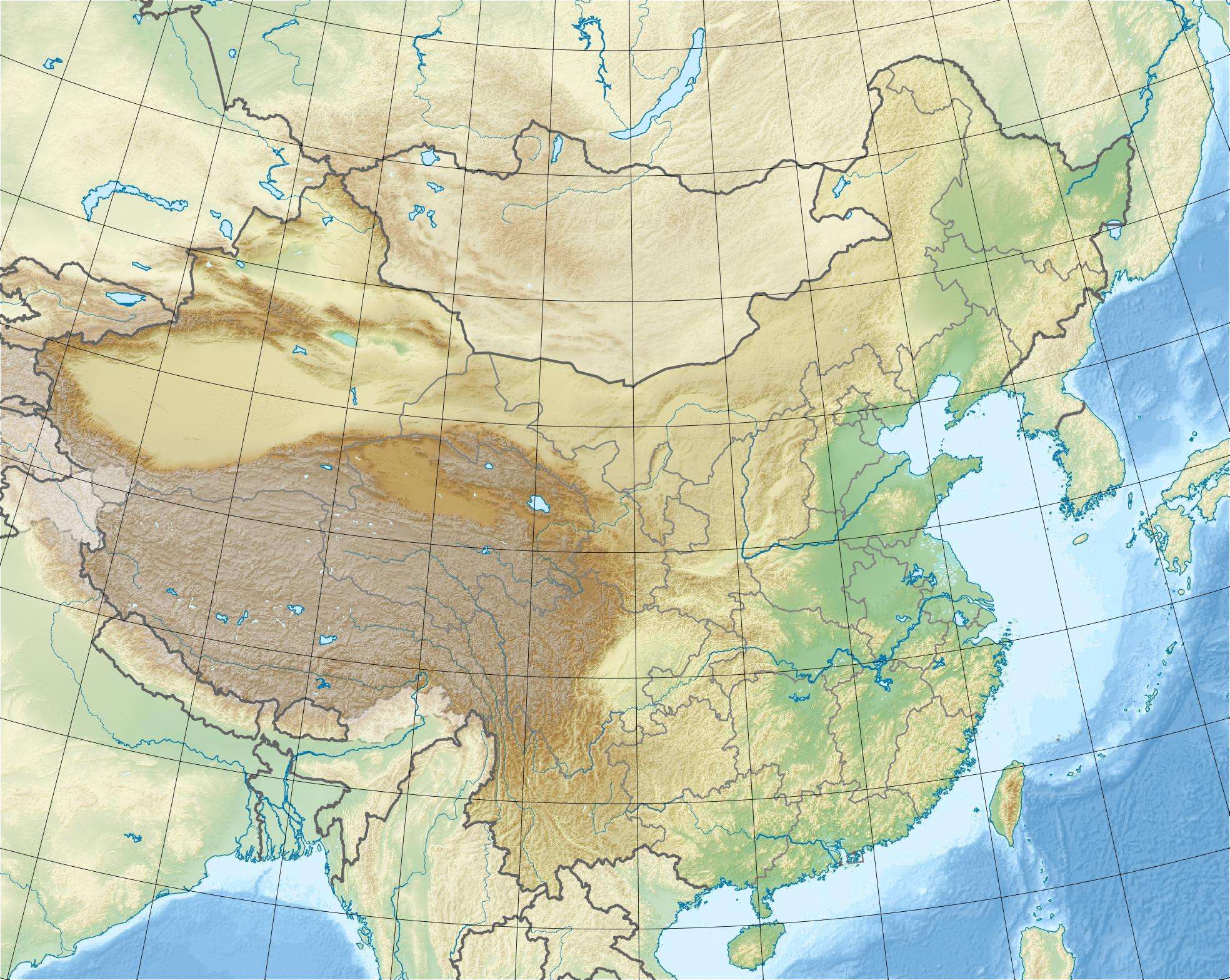
Map of China showing the GSSP location.
Coordinates: 30°58′20″N 111°25′10″E / 30.97222°N 111.41944°E Wangjiawan (Chinese: 王家湾村; pinyin: Wangjiawan cun) is a village in the municipality of Fenxiang Town (Chinese: 分乡镇; pinyin: Fenxiang zhen) and part of the Yiling District (Chinese: 夷陵区), which itself is a part of the Yichang (Chinese: 宜昌市) of Hubei province.
Geology
The geologic outcrop, the "Wangjiawan section" (Chinese: 王家湾剖面; pinyin: Wangjiawan poumian) it the official GSSP for the Hirnantian stage of the Upper Ordovician; it is located at 30°58′56″N 111°25′10″E / 30.98222°N 111.41944°E.[1][2]
References
- ↑ "GSSP Table - Paleozoic Era". Geologic TimeScale Foundation. Retrieved 24 November 2012.
- ↑ Chen, Xu; Jiayu Rong; Junxuan Fan; Renbin Zhan; Charles E. Mitchell; David A. T. Harper; Michael J. Melchin; Ping'an Peng; Stan C. Finney; Xiaofeng Wang (2006). "The Global Boundary Stratotype Section and Point (GSSP) for the base of the Hirnantian Stage (the uppermost of the Ordovician System)" (PDF). Episodes. 29 (3): 183–196. Retrieved 20 September 2012.
This article is issued from Wikipedia - version of the 7/20/2015. The text is available under the Creative Commons Attribution/Share Alike but additional terms may apply for the media files.