Wamanripa (Junín)
This article is about the mountain in the Junín Region, Peru. For other uses, see Wamanripa (disambiguation).
| Wamanripa | |
|---|---|
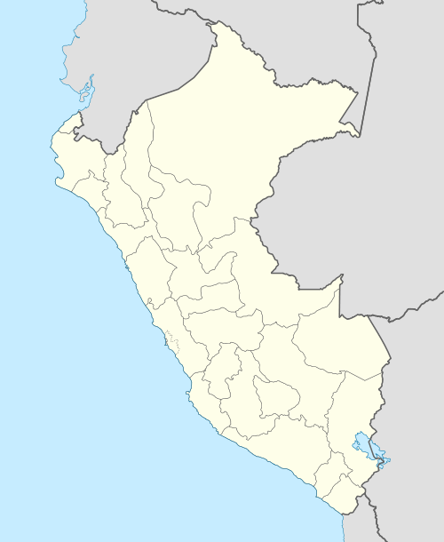
 Wamanripa Peru | |
| Highest point | |
| Elevation | 5,000 m (16,000 ft) [1] |
| Coordinates | 11°45′40″S 76°06′58″W / 11.76111°S 76.11611°WCoordinates: 11°45′40″S 76°06′58″W / 11.76111°S 76.11611°W |
| Geography | |
| Location | Peru, Junín Region |
| Parent range | Andes, Cordillera Central |
Wamanripa (Quechua wamanripa Senecio,[2][3] "the one with the wamanripa", hispanicized spelling Huamanrripa) is a mountain in the Cordillera Central in the Andes of Peru which reaches an altitude of approximately 5,000 metres (16,404 ft). It is located in the Junín Region, Yauli Province, Yauli District. Wamanripa lies east of Yanta Pallana and south of a lake named Pumaqucha.[1]
References
- 1 2 escale.minedu.gob.pe - UGEL map of the Yauli Province (Junín Region)
- ↑ Louis Girault: Kallawaya - guérisseurs itinérants des Andes. Recherches sur les pratiques médicinales et magiques. Paris 1984. p. 89 (kkana), 91, 467 (wamanripa)
- ↑ Primer Curso Nacional de Plantas Medicinales y Fitoterapia: FITO 2001, 06-12 agosto del 2001, conferencias y mesas redondas. Instituto de Fitoterapia Americano, 2001. p. 16. huamanripa: Senecio tephrosioides, Senecio vulgaris
This article is issued from Wikipedia - version of the 12/29/2015. The text is available under the Creative Commons Attribution/Share Alike but additional terms may apply for the media files.