Wallis Heights, Nova Scotia
| Wallis Heights | |
|---|---|
| Subdivsion | |
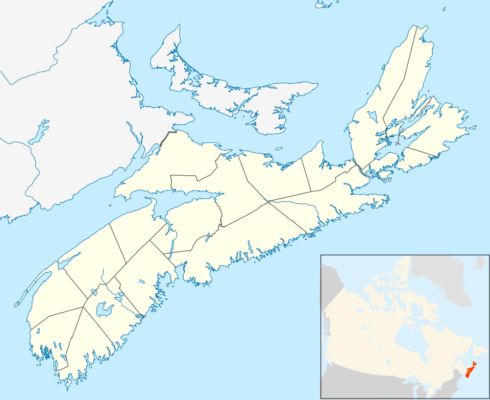 Location within Nova Scotia | |
| Coordinates: 44°41′11″N 63°36′22″W / 44.68639°N 63.60611°WCoordinates: 44°41′11″N 63°36′22″W / 44.68639°N 63.60611°W | |
| Country |
|
| Province |
|
| Municipality | Halifax Regional Municipality |
| Community | Dartmouth |
| Community council | Harbour East - Marine Drive Community Council |
| District | 6 - Harbourview - Burnside - Dartmouth East |
| Postal code | B3A |
| Area code | 902 |
| GNBC code | CBNJH |
Wallis Heights is a Canadian urban neighbourhood in Nova Scotia's Halifax Regional Municipality.
Wallis Heights is situated immediately north of Shannon Hill at the southern end of the Bedford Basin, around the northern side of the MacKay bridge in the former city of Dartmouth. It was established by the Department of National Defence in the 1950s to house Royal Canadian Navy personnel attached to the Halifax naval base. The community is named after Provo Wallis.
Defence cutbacks to the Canadian Forces in the mid-1990s and rising real estate costs saw Wallis Heights sold to a private developer. Some units have been renovated and the entire neighbourhood has been resettled by civilians.
This article is issued from Wikipedia - version of the 2/28/2016. The text is available under the Creative Commons Attribution/Share Alike but additional terms may apply for the media files.