Wairau Valley
| Wairau Valley | |
|---|---|
 Wairau Valley | |
| Coordinates: 41°33′56″S 173°31′44″E / 41.56556°S 173.52889°ECoordinates: 41°33′56″S 173°31′44″E / 41.56556°S 173.52889°E | |
| Country | New Zealand |
| Region | Marlborough |
| Population (2006) | |
| • Total | 4,572 |

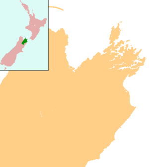
Wairau Valley is the valley of the Wairau River in Marlborough, New Zealand and also the name of the main settlement in the upper valley. State Highway 63 runs through the valley. The valley opens onto the Wairau Plain, where Renwick and Blenheim are sited.[1][2] The Alpine–Wairau Fault runs along the length of the valley.[3]
The population of the Wairau Valley and Wairau Plain, excluding Renwick and Blenheim, was 4,572 in the 2006 Census, an increase of 717 from 2001.[4]
Wairauite is an iron-cobalt alloy which is named after the valley.[5]
History
J. S. Cotterell surveyed the Wairau Valley in November 1842, and reported it contained rich land.[6] Settlers from Nelson, led by Arthur Wakefield, tried to take possession of the land but the Ngāti Toa, led by Te Rauparaha and Te Rangihaeata objected. The dispute escalated into the Wairau Affray at Tuamarina on 23 June 1843, in which 22 settlers and four Māori and were killed. An enquiry held in 1844 by Governor Robert FitzRoy decided that the settlers were in the wrong.[7]
In November 1846, Nelson farmers Nathaniel Morse and John Cooper drove sheep into the Wairau valley[8] and established settlements. Governor Sir George Grey purchased the land in the same year, but legal title to the land for the settlers was sorted out later.[9]
In the 1855 Wairarapa earthquake, the eastern end of the Wairau valley subsided by over a metre.[10]
Education
Wairau Valley School is a coeducational full primary (years 1–8) school with a decile rating of 5 and a roll of 66.[11] A school first opened in the Wairau valley in 1861.[12]
References
- ↑ Peter Dowling (editor) (2004). Reed New Zealand Atlas. Reed Books. pp. map 59. ISBN 0-7900-0952-8.
- ↑ Roger Smith, GeographX (2005). The Geographic Atlas of New Zealand. Robbie Burton. pp. map 138. ISBN 1-877333-20-4.
- ↑ Marlborough Historical Society (2005). Click - A Captured Moment - Marlborough's Early Heritage. p. 16. ISBN 0-473-10475-X.
- ↑ Quickstats about Wairau
- ↑ "Mineral names – 2". Te Ara Encyclopedia of New Zealand.
- ↑ "Thomas Brunner, Nelson and the West Coast". Te Ara Encyclopedia of New Zealand.
- ↑ "The struggle to survive: 1840–1865". Te Ara Encyclopedia of New Zealand.
- ↑ McKinnon, Malcolm (13 July 2012). "Marlborough region - Grazing and farming". Te Ara: The Encyclopedia of New Zealand. Retrieved 21 August 2013.
- ↑ A. D. McIntosh, ed. (1940). Marlborough - A Provincial History. pp. 93, 131–134.
- ↑ "The 1855 Wairarapa earthquake". Te Ara Encyclopedia of New Zealand.
- ↑ "Te Kete Ipurangi - Wairau Valley School, Blenheim". Ministry of Education.
- ↑ A. D. McIntosh, p 340