Wadesmill
| Wadesmill | |
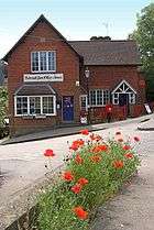 Thundridge (adjoining Wadesmill) former Post Office and village shop which served both villages until closure |
|
 Wadesmill |
|
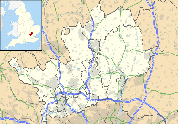
| Shire county | Hertfordshire |
|---|---|
| Region | East |
| Country | England |
| Sovereign state | United Kingdom |
| Post town | WARE |
| Postcode district | SG |
| EU Parliament | East of England |
|
|
Coordinates: 51°50′20″N 0°01′48″W / 51.839°N 0.03°W
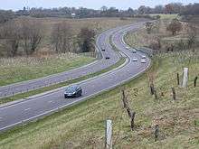
Wadesmill is a hamlet in Hertfordshire, England, located on the north side of the River Rib with an estimated population of 264.[1] At the 2011 Census the population of the hamlet was included in the civil parish of Thundridge. Running through the center of Wadesmill is the road formerly known as the A10 - the main London to King's Lynn (via Cambridge) road - but now that the A10 by-pass has been built, Wadesmill and surrounding villages have returned to the quiet of former times. The route that was formerly the A10 is an ancient one with portions of it following the line of the Roman Road Ermine Street. Ermine street also figures as the former main street in Wadesmill's adjacent village Thundridge.
History
Historically Wadesmill is particularly notable for two features - it is the location of the first turnpike in England (and therefore the world), and the presence of the Clarkson Memorial halfway up nearby High Cross hill, a memorial to Thomas Clarkson's rest point in his travels at which he decided to devote much of the rest of his life to ending the slave trade.
The first effective turnpike in England was created at Wadesmill by Act of Parliament ("The Turnpike Act") in 1663 as a result of serious deterioration of the "Old North Road" due to travel by laden barley wagons supplying the brewing trade in the nearby maltings town of Ware. As with most government-imposed taxations however, routes to circumvent the turnpike were quickly established, resulting in one instance in the increased use of what became known as "The Great North Road" - the A1.[2]
To the east of Wadesmill is the picturesque estate of Youngsbury. Youngsbury consists of an 18th-century park and woodland with 4 hectares of garden around the house, the front part of which is dated 1745, the back early 19th century, with 18th-century stables. There are extensive 16th to 18th-century walled kitchen gardens, an arboretum, an icehouse and tumuli and Roman barrows within the grounds, which extend to the river Rib. Capability Brown's involvement included widening the river and creating two islands, designing a ha ha and placing small groups of trees in open parkland. Nineteenth-century development of the kitchen garden was re-created in the late 20th century, with notable mixed borders. There is a moat and church in a bend of the river on the southern edge of the parkland.[3]
Capability Brown is actually said to have reviewed the rolling parkland surrounding Youngsbury house and observed that he need do nothing to improve upon what nature had already achieved![3]
The moat and church referenced in the HCC quote are in fact Thundridge Bury and Thundridge old church, neither of which are still standing in entirety.
References
- ↑ "Hertfordshire.com".
- ↑ Webb, Sidney; Webb, Beatrice (1922). English local Government: Statutory Authorities for Special Purpose. London: Longmans, Green and Co. pp. 159–165.
- 1 2 "Youngsbury, Hertford, England". Parks and Gardens Data Services Ltd. Retrieved 4 December 2012.