Wad Madani
| Greater Wad Madani Locality, Wad Madani or (Madani)/(Medani) | |
|---|---|
|
Tourist boats on the Blue Nile at Wad Medani | |
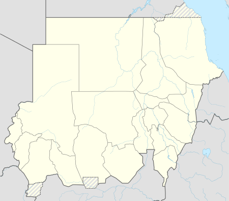 Greater Wad Madani Locality, Wad Madani or (Madani)/(Medani) Location in Sudan | |
| Coordinates: 14°24′N 33°31′E / 14.400°N 33.517°E | |
| Country |
|
| State | Al Jazirah |
| Population (2008) | |
| • Total | 345,290 |

Wad Madani (Arabic: ودمدني Wad Madanī) or (Madani) is the capital of the Al Jazirah state in east-central Sudan. [1] Wad Madani lies on the west bank of the Blue Nile, nearly 85 miles (136 km) southeast of Khartoum. [2] It is linked by rail to Khartoum and is the center of a cotton-growing region.[2] The city is also the center of local trade in wheat,[2] peanuts, barley, and livestock. It is also headquarters of the Irrigation Service.[1] In 2008, its population was 345,290.[1] It is the home of the Wad Medani Ahlia College, a private university.[3]
History
In the early 19th century, Wad Madani ( Madani )was a small Turko-Egyptian outpost, and grew rapidly following the 1925 Gezira Scheme of irrigation to stimulate local economic development.[2] Wad Madani is a commercial centre of the Gezira agricultural district and is mostly residential. Wad Madani has lively commercial activities with good souqs.
The beaches of Wad Madani are situated on the eastern river bank of the Blue Nile, which flows into Sudan from Ethiopia. The city's facilities are more modernized than most places in the Sudan (except the Khartoum area).
The University of al-Gezira is also located in the area.[2]
The popular Sudanese singers Abdel Aziz El Mubarak, Mohammed Al Ameen and Ibrahim Al Kashif were born in Wad Madani. The center of the town's areas are the souq, Al Daraga, Al Gism Al Awal, Wad Azrag and the Sudanese District (formerly known as the British District).
Climate
| Climate data for Wad Madani | |||||||||||||
|---|---|---|---|---|---|---|---|---|---|---|---|---|---|
| Month | Jan | Feb | Mar | Apr | May | Jun | Jul | Aug | Sep | Oct | Nov | Dec | Year |
| Average high °C (°F) | 34 (93) |
35 (95) |
38 (100) |
40 (104) |
41 (105) |
39 (102) |
36 (96) |
34 (93) |
35 (95) |
37 (98) |
36 (96) |
34 (93) |
36.6 (97.5) |
| Average low °C (°F) | 18 (65) |
20 (68) |
21 (70) |
23 (73) |
24 (75) |
24 (75) |
23 (73) |
23 (73) |
22 (71) |
21 (69) |
20 (68) |
18 (65) |
21.4 (70.4) |
| Average precipitation cm (inches) | 0 (0) |
0 (0) |
0 (0) |
0.3 (0.1) |
1.5 (0.6) |
2.8 (1.1) |
10.9 (4.3) |
12.4 (4.9) |
5 (2) |
1.5 (0.6) |
0 (0) |
0 (0) |
34.3 (13.5) |
| Source: Weatherbase [4] | |||||||||||||
References
| Wikimedia Commons has media related to Wad Madani. |
- 1 2 3 "Wad Madani" (population), Microsoft Encarta, Online Encyclopedia 2001.
- 1 2 3 4 5 "Wad Madani" (description), Encyclopædia Britannica, 2007, webpage: EB-WM.
- ↑ "College Start". Wad Medani Ahlia College. Retrieved 2011-09-17.
- ↑ "Weatherbase: Historical Weather for Wad Madani, Sudan". Weatherbase. 2011. Retrieved on November 24, 2011.
Coordinates: 14°24′N 33°31′E / 14.400°N 33.517°E