Wabush Airport
| Wabush Airport | |||||||||||
|---|---|---|---|---|---|---|---|---|---|---|---|
 | |||||||||||
|
IATA: YWK – ICAO: CYWK – WMO: 71825 | |||||||||||
| Summary | |||||||||||
| Airport type | Public | ||||||||||
| Operator | Transport Canada | ||||||||||
| Location | Wabush, Newfoundland and Labrador | ||||||||||
| Time zone | AST (UTC−04:00) | ||||||||||
| • Summer (DST) | ADT (UTC−03:00) | ||||||||||
| Elevation AMSL | 1,809 ft / 551 m | ||||||||||
| Coordinates | 52°55′22″N 066°51′53″W / 52.92278°N 66.86472°WCoordinates: 52°55′22″N 066°51′53″W / 52.92278°N 66.86472°W | ||||||||||
| Website | http://wabushairport.com/ | ||||||||||
| Map | |||||||||||
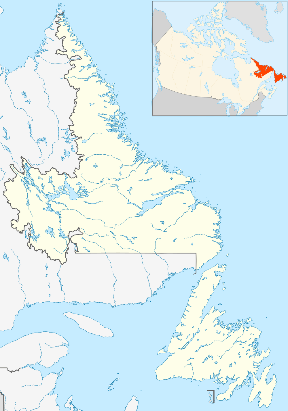 CYWK Location in Newfoundland and Labrador | |||||||||||
| Runways | |||||||||||
| |||||||||||
| Statistics (2010) | |||||||||||
| |||||||||||
Wabush Airport (IATA: YWK, ICAO: CYWK) is 1 nautical mile (1.9 km; 1.2 mi) northeast of Wabush, Newfoundland and Labrador, Canada. It serves Labrador West as well as Fermont, Quebec.
Airlines and destinations
See also
References
- ↑ Canada Flight Supplement. Effective 0901Z 15 September 2016 to 0901Z 10 November 2016
- ↑ Synoptic/Metstat Station Information
- ↑ Total aircraft movements by class of operation — NAV CANADA flight service stations
External links
- Past three hours METARs, SPECI and current TAFs for Wabush Airport from Nav Canada as available.
| By name | |
|---|---|
| By location indicator | |
| By province/territory | |
| By region | |
| National Airports System | |
| Related | |
| |
This article is issued from Wikipedia - version of the 12/4/2016. The text is available under the Creative Commons Attribution/Share Alike but additional terms may apply for the media files.