Villa Paz S.A.
| Villa Paz S.A. | |
|---|---|
| Urban fragment | |
 Villa Paz S.A. Location within Uruguay | |
| Coordinates: 34°44′58″S 56°14′00″W / 34.74944°S 56.23333°W | |
| Country |
|
| Department | Canelones Department |
| Population (2011) | |
| • Total | 542 |
| Time zone | UTC -3 |
| Postal code | 90100 |
| Dial plan | +598 2 (+7 digits) |

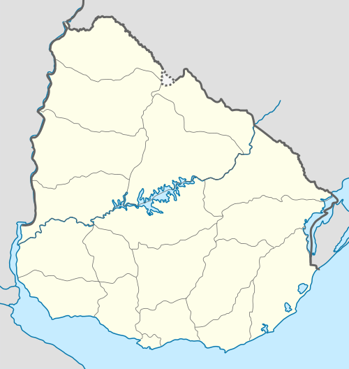
Location of Villa Paz in Canelones Department
Villa Paz S.A. is an urban fragment adjoined to the city of La Paz in the Canelones Department, southern Uruguay.
Location
It is located west at the west part of the city and north of the city centre. It is separated by a quarry to its east from the rest of the urban area and joined with it to the north and to the south by Manuel Tiscornia street.
Population
According to the 2011 census, Villa Paz S.A. has a population of 542.[1][2]
| Year | Population |
|---|---|
| 1963 | 281 |
| 1975 | 356 |
| 1985 | 384 |
| 1996 | 476 |
| 2004 | 499 |
| 2011 | 542 |
Source: Instituto Nacional de Estadística de Uruguay[3]
References
- ↑ "Censos 2011 Cuadros Canelones". INE. 2012. Archived from the original on October 10, 2012. Retrieved 25 August 2012.
- ↑ "Censos 2011 Canelones". INE. 2012. Archived from the original on September 7, 2012. Retrieved 28 August 2012.
- ↑ "1963–1996 Statistics / V" (DOC). Instituto Nacional de Estadística de Uruguay. 2004. Retrieved 1 July 2011.
External links
Capital: Canelones | ||
| Towns and villages |
|  |
| Resorts of the Ciudad de la Costa | ||
| Sights |
| |
This article is issued from Wikipedia - version of the 9/14/2016. The text is available under the Creative Commons Attribution/Share Alike but additional terms may apply for the media files.