Vichadero
| Vichadero | |
|---|---|
| Town | |
|
Side road in Vichadero | |
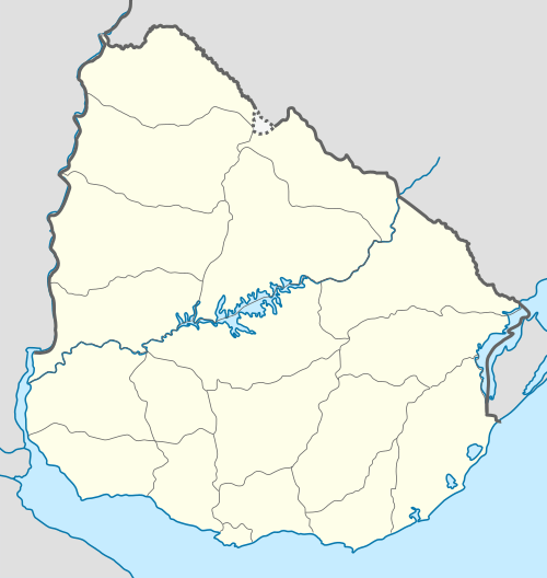 Vichadero Location in Uruguay | |
| Coordinates: 31°47′0″S 54°42′0″W / 31.78333°S 54.70000°WCoordinates: 31°47′0″S 54°42′0″W / 31.78333°S 54.70000°W | |
| Country |
|
| Department | Rivera Department |
| Population (2011) | |
| • Total | 3,698 |
| Time zone | UTC -3 |
| Postal code | 40003 |
| Dial plan | +598 465 (+5 digits) |

Vichadero is a small village in the Rivera Department of northeastern Uruguay.
Location
The village is located on Route 6, and its junction with Route 27. Its closest city is Melo, the capital of the Cerro Largo Department, about 105 kilometres (65 mi) to the southeast (via routes 6, 44 & 7).
History
On 4 September 1950, it was declared a "Pueblo" (village) by the Act of Ley Nº 11.484,[1] and then on 3 May 1984 its status was elevated to "Villa" (town) by the Act of Ley Nº 15.538.[2]
An important feature of this small town is its airport.
Population
In 2011 Vichadero had a population of 3,698.[3]
| Year | Population |
|---|---|
| 1963 | 1,319 |
| 1975 | 3,156 |
| 1985 | 2,529 |
| 1996 | 3,343 |
| 2004 | 4,074 |
| 2011 | 3,698 |
Source: Instituto Nacional de Estadística de Uruguay[4]
Places of worship
- Parish Church of Mary Help of Christians (Roman Catholic)
References
- ↑ "Ley Nº 11.484". República Oriental del Uruguay, Poder Legislativo. 1950. Retrieved 4 September 2012.
- ↑ "Ley Nº 15.538". República Oriental del Uruguay, Poder Legislativo. 1984. Retrieved 4 September 2012.
- ↑ "Censos 2011 Cuadros Rivera". INE. 2012. Retrieved 25 August 2012.
- ↑ "Statistics of urban localities (1963–2004)" (PDF). INE. 2012. Retrieved 4 September 2012.
External links
- INE map of Vichadero
- Rivera / Vichadero (El Observador)
- Intendencia Departamental de Rivera / Vichadero
Capital: Rivera | ||
| Towns and villages |  | |
| Sights | ||
This article is issued from Wikipedia - version of the 9/8/2013. The text is available under the Creative Commons Attribution/Share Alike but additional terms may apply for the media files.