Venice-Lido Airport
| Venice-Lido Airport Aeroporto di Venezia-Lido | |||||||||||
|---|---|---|---|---|---|---|---|---|---|---|---|
 | |||||||||||
| IATA: none – ICAO: LIPV | |||||||||||
| Summary | |||||||||||
| Airport type | Public | ||||||||||
| Operator | Nicelli S.p.A. | ||||||||||
| Serves | Venice (Venezia), Italy | ||||||||||
| Location | Lido di Venezia | ||||||||||
| Elevation AMSL | 13 ft / 4 m | ||||||||||
| Coordinates | 45°25′44″N 12°23′16″E / 45.42889°N 12.38778°ECoordinates: 45°25′44″N 12°23′16″E / 45.42889°N 12.38778°E | ||||||||||
| Map | |||||||||||
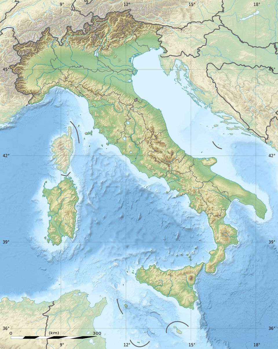 LIPV Location of airport in Italy | |||||||||||
| Runways | |||||||||||
| |||||||||||
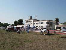
Venice-Lido Airport (Italian: Aeroporto di Venezia-Lido, ICAO: LIPV) is an aerodrome located 1.9 nautical miles (3.5 km; 2.2 mi) east of Venice (Venezia),[1] a city in the Veneto region in Italy.[2] It is situated on the north end of the island of Lido di Venezia. It is also known as Giovanni Nicelli Airport[3] and was formerly known as Venice-San Nicolò Airport.
The aerodrome is operated by Nicelli S.p.A. and administered by the Italian Civil Aviation Authority (ENAC) of Venice. The air traffic service (ATS) authority is ENAV.[1]
Facilities
The airport resides at an elevation of 13 feet (4 m) above mean sea level. It has one runway designated 05/23 with a grass surface measuring 994 by 45 metres (3,261 ft × 148 ft).[1]
See also
- Venice-Tessera Airport (Marco Polo Airport)
References
- 1 2 3 4 AIP for LIPV (VENEZIA / Lido) and chart. AIP Italia. ENAV. 4 October 2012. (free registration required).
- ↑ Airport information for LIPV (Venice, Veneto, Italy) at Great Circle Mapper.
- ↑ Sgt. Giovanni Nicelli (born 1893) has been an ace of the Italian Air Force. 8 confirmed victories, 3 Silver Medals. Died in combat in March, 1918.
External links
- Venezia Lido LIPV - WikiAirports
- Aeroporto Nicelli
- Venice Lido Airport
- Aeronautical chart for LIPV at SkyVector
- Accident history for LIPV at Aviation Safety Network
This article is issued from Wikipedia - version of the 12/5/2016. The text is available under the Creative Commons Attribution/Share Alike but additional terms may apply for the media files.