Varzob
| Varzob | |
|---|---|
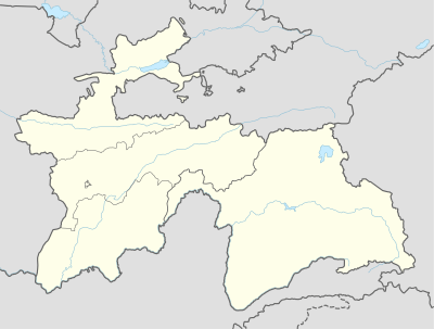 Varzob Location in Tajikistan | |
| Coordinates: 38°46′25″N 068°49′04″E / 38.77361°N 68.81778°ECoordinates: 38°46′25″N 068°49′04″E / 38.77361°N 68.81778°E | |
| Country |
|
| Province | Region of Republican Subordination |
| Elevation | 1,108 m (3,635 ft) |
| Time zone | GMT/UTC + 05:00 hour |
Varzob is a settlement in Varzob district, Region of Republican Subordination, Tajikistan, in central Asia.[1] It is the administrative center for the Varzob district.
Geography
Varzob is located on the left (east) bank of the Varzob River, about 25 km north of Dushanbe. The village of Begar[2] lies about 2.5 km north of Varzob on the right bank of the river, and the village of Varzobkala[3] lies just .75 km south of Varzob on the right bank of the river.
There are seven rivers in the area: the Varzob, the Simiganj, the Sioma, the Seer, the Vakhsh, the Amoo, and the Sorhob.
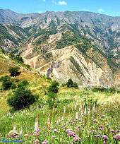
View from Bigar table. 4 km north from the Varzob centre. Elevation: 1530m.
38.799316°0′N 68.838658°0′E / 38.799°N 68.839°E
Notes

Varzob
Capital: Dushanbe | ||
| Districts |  | |
| Main cities and towns | ||
| Geography | ||
This article is issued from Wikipedia - version of the 7/29/2014. The text is available under the Creative Commons Attribution/Share Alike but additional terms may apply for the media files.