Valenzuela, Paraguay
| Valenzuela | |
|---|---|
| City | |
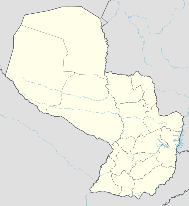 Valenzuela Location in Paraguay | |
| Coordinates: 23°35′S 56°52′W / 23.583°S 56.867°W | |
| Country |
|
| Department | Cordillera |
| Government | |
| • Mayor | Eladio Galeano Lugo |
| Area | |
| • Total | 173 km2 (67 sq mi) |
| Population (2002) | |
| • Total | 5,581 |
| • Density | 32/km2 (84/sq mi) |
| Time zone | AST (UTC-04) |
| • Summer (DST) | ADT (UTC-03) |
| Postal code | 3070 |
Valenzuela is a town and district of the Cordillera Department, Paraguay, located some 107 km from Asunción. It was founded in 1783 in an area previously known as Yvyraity. The full name of the settlement was Capilla de Valenzuela de los Naranjos because it was formed around a Chapel of San Jose, built by father Antonio Fernandez de Valenzuela.[1]
As of 2002, the district's population amounted to 5,581.
Economy is based on agriculture, especially cultivation of ananas. The parish church of Valenzuela houses a Baroque pulpit dating to the first Jesuit missions in the country.
Coordinates: 25°35′00″S 56°52′00″W / 25.58333°S 56.86667°W
References
This article is issued from Wikipedia - version of the 2/7/2015. The text is available under the Creative Commons Attribution/Share Alike but additional terms may apply for the media files.