Val Viola Pass
| Val Viola Pass | |
|---|---|
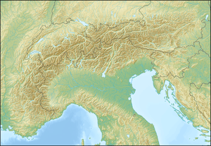 Val Viola Pass Location in the Alps | |
| Elevation | 2,432 m (7,979 ft)[1] |
| Traversed by | Trail |
| Location |
Graubünden, Switzerland Lombardy, Italy |
| Range | Livigno Alps |
| Coordinates | 46°24′54″N 10°09′19″E / 46.41500°N 10.15528°ECoordinates: 46°24′54″N 10°09′19″E / 46.41500°N 10.15528°E |
The Val Viola Pass (Italian: Passo di Val Viola, Romansh: Pass da Val Viola) is a high mountain pass in the Alps on the border between Switzerland and Italy. It connects Poschiavo in the Swiss canton of Graubünden with Valdidentro in the Italian region of Lombardy. The pass lies at a height of 2,432 metres above sea level between Piz Paradisin and Corno di Dosdè.
The pass is traversed by a trail.
References
See also
This article is issued from Wikipedia - version of the 2/15/2013. The text is available under the Creative Commons Attribution/Share Alike but additional terms may apply for the media files.