Vadgam
| Vadgam | |
|---|---|
| village | |
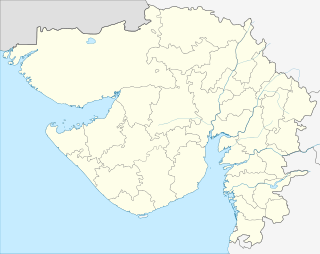 Vadgam  Vadgam Location in Gujarat, India | |
| Coordinates: 24°5′0″N 72°29′0″E / 24.08333°N 72.48333°ECoordinates: 24°5′0″N 72°29′0″E / 24.08333°N 72.48333°E | |
| Country |
|
| State | Gujarat |
| District | Banaskantha district |
| Languages | |
| • Official | Gujarati, Hindi |
| Time zone | IST (UTC+5:30) |
| Telephone code | 02739 |
| Vehicle registration | GJ 8 |
| Nearest city | Palanpur |
| Lok Sabha constituency | Patan |
| Vidhan Sabha constituency | Vadgam |
| Website | http://vadgam.com/ |
Vadgam is located in India, situated in Banaskantha district in northern Gujarat. Administratively, it is a Taluka. There are 110 villages under this Taluka. Vadgam region also known as a Dhandhar.
Geography
Vadgam is situated between Kheralu and Palanpur, 15 km away from Palanpur the main city of the Banaskantha District. It is a commercial place for the surrounding the villages Memadpur, Kodaram, Pilucha, Rupal, Gola, Parakhadi, Magarwada, Nandotra,Majadar, Gidasan and Nanosana. average raindrop in vadgam region is 706mm.
History
During the British Raj Vadgam was the capital of Wadagam State, one of the princely states of the Mahi Kantha Agency ruled by Rajputs.[1]

Government Library of vadgam established in 1991
Nearby places of interest
- Ambaji: 50 km
- Mount Abu: 100 km
- Sebhar: 25 km
- Nagneshwari Maa : 5Km
References
External links
This article is issued from Wikipedia - version of the 10/3/2016. The text is available under the Creative Commons Attribution/Share Alike but additional terms may apply for the media files.