Urahoro, Hokkaido
| Urahoro 浦幌町 | |
|---|---|
| Town | |
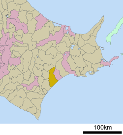 Location of Urahoro in Hokkaido (Tokachi Subprefecture) | |
 Urahoro Location in Japan | |
| Coordinates: 42°49′N 143°40′E / 42.817°N 143.667°ECoordinates: 42°49′N 143°40′E / 42.817°N 143.667°E | |
| Country | Japan |
| Region | Hokkaido |
| Prefecture | Hokkaido (Tokachi Subprefecture) |
| District | Tokachi |
| Area | |
| • Total | 729.64 km2 (281.72 sq mi) |
| Population (2008) | |
| • Total | 5,993 |
| • Density | 8.2/km2 (21/sq mi) |
| Time zone | Japan Standard Time (UTC+9) |
| Website |
www |
Urahoro (浦幌町 Urahoro-chō) is a town located in Tokachi District, Tokachi Subprefecture, Hokkaido, Japan.
As of 2008, the town has an estimated population of 5,993 and a density of 8.2 persons per km². The total area is 729.64 km².
External links
 Media related to Urahoro, Hokkaidō at Wikimedia Commons
- Official website (Japanese)
This article is issued from Wikipedia - version of the 3/17/2016. The text is available under the Creative Commons Attribution/Share Alike but additional terms may apply for the media files.