Unchehara
| Unchehara | |
|---|---|
| city | |
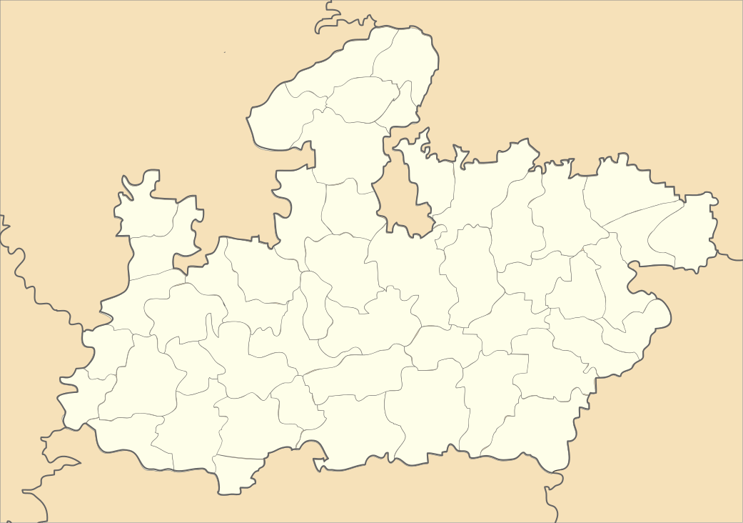
 Unchehara Location in Madhya Pradesh, India | |
| Coordinates: 24°23′36″N 80°47′7″E / 24.39333°N 80.78528°ECoordinates: 24°23′36″N 80°47′7″E / 24.39333°N 80.78528°E | |
| Country |
|
| State | Madhya Pradesh |
| District | Satna |
| Population (2001) | |
| • Total | 16,662 |
| Languages | |
| • Official | Hindi |
| Time zone | IST (UTC+5:30) |
Unchehara is a town and a nagar panchayat in Satna district in the Indian state of Madhya Pradesh. It is a block and one of six tehsils of Satna district (i.e. Majhganwa, Sohawal, Rampur Baghelan, Nagod, Unchehra, Amarpatan, Ramnagar, Maihar) situated around 24 degrees 20 minutes North Longitude, 80 degrees 44 minutes East Latitude in the vicinity of Vindhya Range in Central India.
Kabir Math and Raj Mandir (Royal Temple) of Parihar Rajputa Maharajas, and a kothi (Fort) of Maharajas cover the area.
Demographics
As of 2001 India census,[1] Unchehara had a population of 16,662. Males constitute 52% of the population and females 48%. Unchehara has an average literacy rate of 65%, higher than the national average of 59.5%: male literacy is 74%, and female literacy is 54%. In Unchehara, 16% of the population is under 6 years of age.
History
In the 17th century, Raja Chain Singh defeated Dhar Singh (Teli) and established this place. Being at a higher elevation compared to surroundings, it was called ``Uchchakalpa’’. Earlier, in 1344, Uchchakalpa had been made capital of the Nagod State.[2]
Modern Unchehara
Unchehra Janpad-Panchayat consists of 20 members and its Vikas-Khand consists of 66 Gram-Panchayats which includes a total of 322 villages. Langargawan Railway station (about 15 km from Unchehra towards Satna) comes under Unchehra Tehsil. Work of Unchehra Tehsil started systematically from 2001. In Unchehra, infrastructure and facilities e.g. office block, Tehsil, police-station (under a Town Inspector), hospital, Office of Forest Department, post-office, Telecom-Office, waiting rooms at Bus Stand and railway station (completed in around 1948), schools up to higher secondary, Madhya Pradesh Bhoj university, two Dharmashalas are available for people.
Currently in 2012 National Public High School have been opened in Paprenga village by Kunjraj Shiksha Vikas Samiti, Bihata. Recently State Bank of India has opened a branch in Unchehra which is located in near Railway station and place known as "Katra Harish Metal Industries". Harish Metal Industries has opened in Unchehra it is growing up.
Unchehra had been well known for milk product named 'Khova' which is being produced and brought from nearby villages. It is exported to nearby cities in bulk daily. It is well connected by rail and road transport to major cities like Delhi, Bhopal, Jabalpur, etc.
Location
Unchehra extends from 24 degrees 12 minute to 24 degrees 34 minutes in north, and from 80 degrees 26 minutes to 80 degrees 56 minutes in
References
- ↑ "Census of India 2001: Data from the 2001 Census, including cities, villages and towns (Provisional)". Census Commission of India. Archived from the original on 2004-06-16. Retrieved 2008-11-01.
- ↑ David P. Henige (2004). Princely states of India: a guide to chronology and rulers. Orchid Press. p. 22. ISBN 978-974-524-049-0. line feed character in
|title=at position 26 (help)