Uli, Anambra
| Uli | |
|---|---|
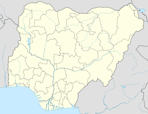 Uli Location in Nigeria | |
| Coordinates: 5°47′N 6°52′E / 5.783°N 6.867°E | |
| Country |
|
| State | Anambra State |
| Area | |
| • Metro | 99 sq mi (256 km2) |
Uli is a town of historic importance situated at the extreme southeast conner of Ihiala local government area of Anambra state in Nigeria. Its closest neighbouring towns are Amaofuo (formerly a village in Uli town), Ihiala, Amorka, Ubulu, Ozara, Egbuoma and Ohakpu. Uli town extends westward to the confluence of the rivers of Atamiri and Enyinja, and across Usham Lake down to the lower Niger region. The history, life, culture and custom of Uli people can be found in many texts with the most elaborate one being the book titled URI History, Life, Culture & Custom of a People and written by Ichie (Sir) G.C. Okonkwo. Anambra State University is located in Uli.
During the Biafran Civil War, the Biafran Airport code named Annabel Airport was also located in a land strip at Umuchima village, Uli. This landing strip was used extensively to bring in relief supplies during the Biafran airlift.
Uli has also produced many eminent people in Nigeria among whom are H.R.H Okolie Akwara 1 of Uli, a great ancestral tree of the Okolie family,responsible for the Construction of the Okolie Road that links from Centre to Oguta Lake and other local Communities,King David ( Okolie Jeff)a Pastor in Ghana, Engr. Fort Dike, Dr ABC Orjiako a business mogul, Dr. Chinwoke Mbadinuju a former Governor of Anambra state also came from Uli, Ichie (Sir) G.C. Okonkwo an elder statesman the author of the most comprehensive book on the history of Uli people 'URI', and many other great men and women. Uli is a small progressive town, with many of its sons and daughter all over the world. The people of Uli are predominantly Christians of different denominations though there are some adherents of African traditional beliefs popularly called "Ndi Odinana" scattered across the four quarters. This great community has produced renowned celebrities such as E-Money and KCEE brothers from Uli, Kanu Nwankwos maternal home. This blessed village situated along the Onitsha - Owerri Expressway has been the centre of cultural and historical beauty of the current day Igbos. With an air lift field used in the civil war, this community has exhibited its richness in palms, cashew nuts, fruits and other things.
Coordinates: 5°47′N 6°52′E / 5.783°N 6.867°E