Udaipura
| Udaipura Udaipura | |
|---|---|
| city | |
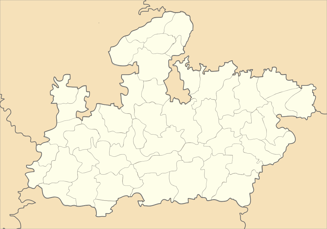
 Udaipura  Udaipura Location in Madhya Pradesh, India | |
| Coordinates: 23°05′N 78°30′E / 23.08°N 78.5°ECoordinates: 23°05′N 78°30′E / 23.08°N 78.5°E | |
| Country |
|
| State | Madhya Pradesh |
| District | Raisen |
| Elevation | 321 m (1,053 ft) |
| Population (2001) | |
| • Total | 13,790 |
| Languages | |
| • Official | Hindi |
| Time zone | IST (UTC+5:30) |
| PIN | 464770 |
| Website | udaipura |
Udaipura is a town and a nagar panchayat in Raisen district in the Indian state of Madhya Pradesh.
Geography
Udaipura has an average elevation of 321 metres (1053 feet).[1] Udaipura is connected to Bhopal and Jabalpur by bus. Udaipura is 160 km from Bhopal. Udaipura is a town of temples. there is a famous temple of durga called mata mandir.
Demographics
As of 2001 India census,[2] Udaipura had a population of 13,790. Males constitute 54% of the population and females 46%. Udaipura has an average literacy rate of 65%, higher than the national average of 59.5%: male literacy is 72%, and female literacy is 57%. In Udaipura, 15% of the population is under 6 years of age. It is very near to Holy river Narmada. The village named Boras is the north bank of Narmada. Every person goes to worship and take holy bath in Narmada on each Purnima and Amavasya. And a famous temple of Lord Hanuman is placed at cheend chichavar (Hanuman dada ki cheend) which is about 35 km away from Udaipura. It was also the constituency of Late Shri Shankar Dayal Sharma former president of India. Also the famous OSHO place is also near from Udaipura, it is about 25 KM away from udaipura.
Mandir
| Mata Mandir | Shakti Mata Mandir | Shani Mandir |
| Kali Mandir | Hanumaan Mandir | pancmukhi Hanumaan Mandir |
| Santoshi Mata Mandir | Shiv Mandir | Bhero Mandir |
References
- ↑ Falling Rain Genomics, Inc - Udaipura
- ↑ "Census of India 2001: Data from the 2001 Census, including cities, villages and towns (Provisional)". Census Commission of India. Archived from the original on 2004-06-16. Retrieved 2008-11-01.