U.S. Route 50 in Indiana
| ||||
|---|---|---|---|---|
_map.svg.png) | ||||
| Route information | ||||
| Maintained by INDOT | ||||
| Length: | 171.38 mi[1] (275.81 km) | |||
| Existed: | 1926 – present | |||
| Major junctions | ||||
| West end: |
| |||
|
| ||||
| East end: |
| |||
| Highway system | ||||
| ||||
U.S. Route 50 (US 50) is a part of the United States Numbered Highway System that runs from West Sacramento, California, to Ocean City, Maryland. In the U.S. state of Indiana, it is part of the state road system. US 50 enters the state in Vincennes. The 171.38 miles (275.81 km) of US 50 that lie within Indiana serve as a major conduit. All of the highway is listed on the National Highway System. Various sections are rural two-lane highway, urbanized four-lane undivided highway and one-way streets. The easternmost community along the highway is Lawrenceburg at the Ohio state line. US 50 passes through urban areas, farmland and woodland.
Route description
US 50 enters Indiana over the Wabash River and a CSX railroad track as a four-lane, divided highway passing through rural farmland. The highway heads east, turning southeast, having a cloverleaf interchange with US 41 and US 150. The three routes head southeast; the concurrent ends when US 41 keeps heading south and US 50 and US 150 turn east. The two routes head east towards Washington, as a four-lane divided highway passing through rural farmland. In Wheatland the highway has an intersection with both SR 550 and SR 241. The road bypasses Washington around the south side of town, intersecting SR 57 and SR 257. On the east side of Washington the highway has an interchange with Interstate 69 (I–69). After the interchange with I–69, the highway narrows to a two-lane highway and heads east towards Loogootee.[2][3][4]
In Loogootee, the highway begins a concurrency with US 231. The concurrency heads north passing through the downtown area of Loogootee as a two-lane highway, passing commercial and residential properties. The concurrency ends when US 50 and US 150 turn east and with US 231 still heading north. The highway heads east from Loogootee towards Shoals; in Shoals US 150 heads southeast and US 50 heads northeast towards Bedford. The highway passes through the Hoosier National Forest and an intersection with SR 650. Southwest of Bedford US 50 begins a concurrency with SR 37. The two routes head north, turning northeast crossing the east folk of the White River. After the river the concurrency turns northwest and the concurrency ends at an intersection with SR 450. SR 37 heads north and US 50 heads east, concurrent with SR 450, towards downtown Bedford. The concurrency heads towards downtown Bedford, passing through commercial and residential properties, as a four-lane highway with a center turn lane. Downtown the highway divided into one-way streets at an intersection with M Street, with eastbound on Sixteenth Street and westbound on Fifteenth Street. This intersection is also the eastern terminus of SR 450. The streets head through downtown and have the Lawrence County Court House between them. A block after the court house the one-way streets end at an intersection with H Street. The highway leaves downtown as a two-lane highway passing through mostly residential properties.[2][3][4]
US 50 heads east-northeast from Bedford towards Brownstown, passing through farmland and woodland as a two-lane highway. The route has an intersection with SR 446 and SR 235. After SR 235 the road passes through mostly farmland with a few houses. The highway passes through a concurrency with SR 135, before entering Brownstown. In Brownstown the routes has an intersection with SR 250. From Brownstown the route heads northeast towards Seymour, passing through rural farmland with a few houses. US 50 enters Seymour and becomes a four-lane undivided highway, passing through commercial and residential properties, parallel to a CSX Railroad track. In downtown Seymour, the highways becomes a four-lane highway with a center turn lane and it has a short concurrency with SR 11. The route leaves downtown Seymour heading east passing through commercial properties and having an interchange with I–65. East of the interchange the road has an intersection with US 31 and the roadway narrows to a two-lane highway.[2][3][4]
The highway leaves Seymour and heads northeast towards North Vernon, as a two-lane highway passing through farmland. The route enters North Vernon head northeast, passing through residential properties. In downtown North Vernon US 50 has an intersection with SR 3 and SR 7 concurrency. The highway head through downtown crossing the Madison Railroad track. The highway leaves downtown, heading east passing through industrial and residential properties. The road leaves North Vernon heading northeast towards Versailles, passing through farmland. The route passes just north of the Jefferson Proving Ground. West of Versailles, the highway begins a concurrency with US 421. The concurrency enters Versailles, heading southeast passing residential properties. US 421 turns south ending the concurrency with and a concurrency with SR 129 begins. The two routes head east leaving Versailles and entering the Versailles State Park. East of the state park the concurrency with SR 129 ends when SR 129 heads due north and US 50 heads southeast.[2][3][4]

The route heads south east toward Dillsboro, passing through an intersection with State Road 101. At the intersection with SR 101, US 50 becomes a four-lane divided highway passing through woodland and farmland. In Dillsboro the road passes north of town and it has an intersection with SR 62. After Dillsboro the highway heads northeast towards Aurora, passing through woodlands. On the way to Aurora the highway becomes a four-lane undivided, before becoming a divided highway again. In Aurora the road has an intersection with SR 56 and SR 350. The highway heads northeast towards Lawrenceburg as a four-lane highway with a center turn lane, passing through commercial properties. In Lawrenceburg the route has an intersection with SR 48, followed by an intersection with SR 1, SR 1 provides access to I–275. The route leaves Lawrenceburg heading northeast as a four-lane undivided highway passing through woodland. US 50 enters Ohio as a four-lane undivided highway west of an underpass of I–275.[2][3][4]
The entire length of US 50 in Indiana is included as a part of the National Highway System (NHS).[5] The NHS is a network of highways that are identified as being most important for the economy, mobility and defense of the nation.[6] The highway is maintained by the Indiana Department of Transportation (INDOT) like all other U.S. Highways in the state. The department tracks the traffic volumes along all state highways as a part of its maintenance responsibilities using a metric called average annual daily traffic (AADT). This measurement is a calculation of the traffic level along a segment of roadway for any average day of the year. In 2010, INDOT figured that lowest traffic levels were the 2,690 vehicles and 480 commercial vehicles used the highway daily between SR 446 and Lawrence–Jackson county line. The peak traffic volumes were 31,720 vehicles and 1,920 commercial vehicles AADT along the section of US 50 between SR 148 and SR 48.[7]
History
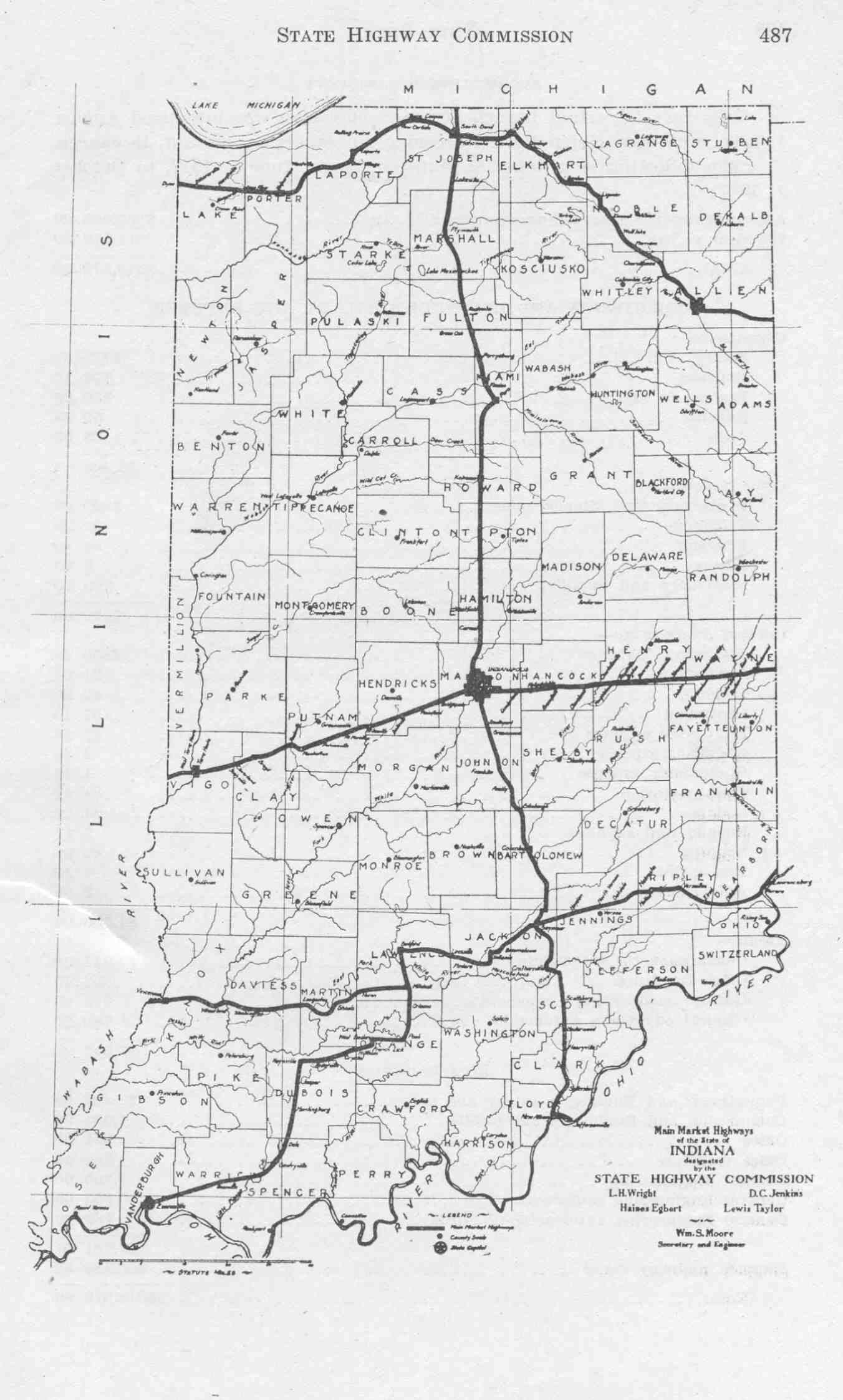
US 50 was first signed 1917 as Main to Market Highway number Five, from Illinois state line to Mitchell. East of Mitchell to the Ohio state line it was Main Market Highway number Four.[8][9] The number US 50 was given to this route when the United States Numbered Highway System began in 1926.[10][11][12]
Future
| |
|---|---|
| Location: | North Vernon |
INDOT has conceived a bypass routing of US 50 around North Vernon, splitting it into two projects, North Vernon West[13] and North Vernon East.[14] North Vernon West opened December 10, 2013, carrying a temporary State Road 750 designation until North Vernon East is completed and US 50 routed over the entire bypass.[15]
Major intersections
| County | Location | mi[1] | km | Destinations | Notes |
|---|---|---|---|---|---|
| Knox | Vincennes | 0.00 | 0.00 | Illinois state line | |
| 1.84 | 2.96 | Western end of US 41/US 150 concurrency | |||
| 3.04 | 4.89 | Eastern end of US 41 concurrency | |||
| Wheatland | 13.16 | 21.18 | Eastern terminus of SR 550 | ||
| 13.67 | 22.00 | Northern terminus of SR 241 | |||
| Daviess | Washington | 20.53 | 33.04 | ||
| 22.72 | 36.56 | ||||
| Martin | Loogootee | 36.02 | 57.97 | Southern end of US 231 concurrency | |
| 36.49 | 58.72 | Northern end of US 231 concurrency | |||
| 36.78 | 59.19 | Western terminus of SR 550 | |||
| Center Township | 42.65 | 68.64 | Western terminus of SR 450 | ||
| Shoals | 44.18 | 71.10 | Eastern end of US 150 concurrency | ||
| Halbert Township | 48.19 | 77.55 | Western terminus of SR 650 | ||
| Lawrence | Spice Valley Township | 54.33 | 87.44 | Western terminus of SR 60 | |
| Bedford | 64.09 | 103.14 | Southern end of SR 37 concurrency | ||
| 68.16 | 109.69 | Northern end of SR 37 concurrency; western end of SR 450 concurrency | |||
| 69.88 | 112.46 | Eastern terminus of SR 450 | |||
| Shawswick Township | 78.24 | 125.92 | Southern terminus of SR 446 | ||
| Jackson | Owen Township | 88.63 | 142.64 | Northern terminus of SR 235 | |
| 91.27 | 146.88 | Western end of SR 135 concurrency | |||
| Brownstown | 94.33 | 151.81 | Eastern end of SR 135 concurrency | ||
| 95.12 | 153.08 | Western terminus of SR 250 | |||
| Seymour | 105.26 | 169.40 | Western end of SR 11 concurrency | ||
| 105.57 | 169.90 | Eastern end of SR 11 concurrency | |||
| 107.83 | 173.54 | ||||
| 108.30 | 174.29 | ||||
| Jennings | North Vernon | 120.54 | 193.99 | ||
| Ripley | Versailles | 141.07 | 227.03 | Western end of US 421 concurrency | |
| 141.99 | 228.51 | Eastern end of US 421 concurrency; western end of SR 129 concurrency | |||
| Johnson–Washington township line | 145.91 | 234.82 | Eastern end of SR 129 concurrency | ||
| Washington Township | 149.04 | 239.86 | Southern terminus of SR 101 | ||
| Dearborn | Dillsboro | 154.28 | 248.29 | Eastern terminus of SR 62; eastern terminus of SR 262 | |
| Aurora | 163.14 | 262.55 | Eastern terminus of SR 56; eastern terminus of SR 350 | ||
| 163.63 | 263.34 | Eastern terminus of SR 148 | |||
| Lawrenceburg Township | 166.59 | 268.10 | Eastern terminus of SR 48 | ||
| Lawrenceburg | 169.07 | 272.09 | Southern terminus of SR 1 | ||
| Lawrenceburg Township | 171.38 | 275.81 | Ohio state line | ||
1.000 mi = 1.609 km; 1.000 km = 0.621 mi
| |||||
See also
 U.S. Roads portal
References
- 1 2 Indiana Department of Transportation (2004). Reference Post Book (PDF). Indianapolis: Indiana Department of Transportation. U-50. Archived (PDF) from the original on October 6, 2014. Retrieved December 5, 2012.
- 1 2 3 4 5 Indiana Department of Transportation (August 23, 2011). Indiana Railroad Map (PDF) (Map). 1:633,600. Indianapolis: Indiana Department of Transportation. Retrieved December 7, 2012.
- 1 2 3 4 5 Indiana Department of Transportation (2012). Indiana Transportation Map (PDF) (Map) (2011–12 ed.). 1:550,000. Indianapolis: Indiana Department of Transportation. OCLC 765461296. Retrieved December 7, 2012.
- 1 2 3 4 5 Google (December 8, 2012). "Overview of US 50 in Indiana" (Map). Google Maps. Google. Retrieved December 8, 2012.
- ↑ Federal Highway Administration (December 2003). National Highway System: Indiana (PDF) (Map). Scale not given. Washington, DC: Federal Highway Administration. Retrieved December 5, 2012.
- ↑ Natzke, Stefan; Neathery, Mike; Adderly, Kevin (September 26, 2012). "What is the National Highway System?". National Highway System. Federal Highway Administration. Retrieved December 5, 2012.
- ↑ Indiana Department of Transportation (2010). "Indiana Traffic Counts". Indianapolis: Indiana Department of Transportation. Retrieved December 5, 2012.
- ↑ Indiana State Highway Commission (1917). Main Market Highways (Map). Indianapolis: Indiana State Highway Commission. Retrieved December 7, 2012 – via Indiana University Bloomington Libraries.
- ↑ Indiana Department of Transportation. "Main Market Highways of Indiana" (PDF). Indiana Department of Transportation. Retrieved December 7, 2012.
- ↑ Weingroff, Richard F. (January 9, 2009). "From Names to Numbers: The Origins of the U.S. Numbered Highway System". Highway History. Federal Highway Administration. Retrieved December 7, 2012.
- ↑ Rand McNally (1926). Road Map of Indiana (Map). Chicago: Rand McNally. Retrieved December 7, 2012 – via Broer Map Library.
- ↑ Indiana State Highway Commission (1927). State Highway System of Indiana (PDF) (Map). Indianapolis: Indiana State Highway Commission. Retrieved December 7, 2012 – via Indiana University Bloomington Libraries.
- ↑ U.S. 50 North Vernon West. Indiana Department of Transportation. Retrieved December 15, 2013.
- ↑ U.S. 50 North Vernon East. Indiana Department of Transportation. Retrieved December 15, 2013.
- ↑ "Lt. Governor Cuts Ribbon on North Vernon Bypass" (Press release). Indiana Department of Transportation. December 10, 2013. Retrieved December 15, 2013.
External links
| Previous state: Illinois |
Indiana | Next state: Ohio |