Tuy Hòa
| Tuy Hòa Thành phố Tuy Hòa | |
|---|---|
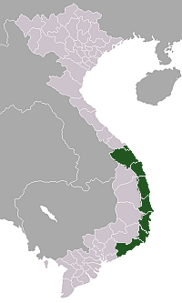
 Tuy Hòa Location of Tuy Hòa in Vietnam | |
| Coordinates: 13°04′55″N 109°17′42″E / 13.08194°N 109.29500°E | |
| Country |
|
| Province | Phú Yên |
| Area | |
| • Total | 107 km2 (41 sq mi) |
| Population (2012) | |
| • Total | 202,030 |
| • Density | 1,888.1/km2 (4,890/sq mi) |
| Time zone | UTC + 7 |
Tuy Hòa (![]() listen) is the capital city of Phú Yên Province in south-central Vietnam. The city has a total area of 107 km2 and a population of 202,030 (in 2012). The city is located approximately midway between Nha Trang and Qui Nhơn.
listen) is the capital city of Phú Yên Province in south-central Vietnam. The city has a total area of 107 km2 and a population of 202,030 (in 2012). The city is located approximately midway between Nha Trang and Qui Nhơn.
The city is formulated mainly from alluvial of the downstream of Đà Rằng River. There are two mountains in the center of the city: Chóp Chài Mountain and Nhạn Mountain.

Đà Rằng River and Nhan Mountain create a poetic landscape. There is a Champa Temple on the top of Nhạn Mountain. Standing at this place, visitors easily enjoy a full view of Tuy Hoa city.
Infrastructure
Transportation
By air
The city is served by Dong Tac Airport which lies south of Tuy Hòa.
By land
Tuy Hòa Railway Station is a stop on the North-South Railway. National Route 1A runs through the city, providing road connections to Hanoi in the north and Ho Chi Minh City in the south.
Gallery
 Tuy Hoa city view from Champa Temple in Nhan mountain
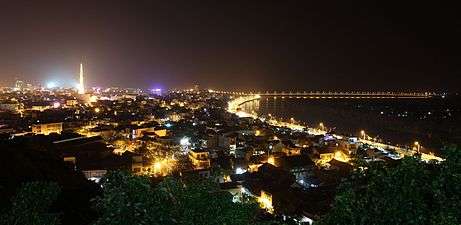 The city night