Turin-Aeritalia Airport
| Turin-Aeritalia Airport Aeroporto di Torino-Aeritalia | |||||||||||||||||||
|---|---|---|---|---|---|---|---|---|---|---|---|---|---|---|---|---|---|---|---|
| IATA: none – ICAO: LIMA | |||||||||||||||||||
| Summary | |||||||||||||||||||
| Airport type | Private | ||||||||||||||||||
| Operator | Aeroclub Torino | ||||||||||||||||||
| Location | Turin, Piedmont, Italy | ||||||||||||||||||
| Elevation AMSL | 943 ft / 288 m | ||||||||||||||||||
| Coordinates | 45°05′20″N 007°36′20″E / 45.08889°N 7.60556°ECoordinates: 45°05′20″N 007°36′20″E / 45.08889°N 7.60556°E | ||||||||||||||||||
| Website |
www | ||||||||||||||||||
| Map | |||||||||||||||||||
 LIMA Location of airport in Turin Location of airport in Piedmont 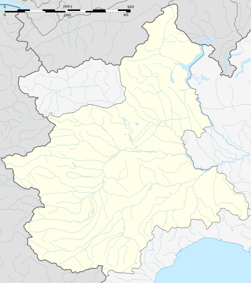 LIMA Location of Piedmont region in Italy 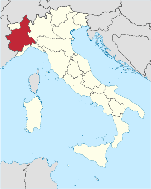 | |||||||||||||||||||
| Runways | |||||||||||||||||||
| |||||||||||||||||||
Turin-Aeritalia Airport (Italian: Aeroporto di Torino-Aeritalia, ICAO: LIMA) also known as Edoardo Agnelli Airport, built in 1916, is the historical airport of Turin in the Piedmont region of northern Italy. It is located off Corso Marche, some 5 km (3 mi) from the city centre.
Commercial flights moved to Turin Caselle Airport in 1953 and today Torino-Aeritalia is used for tourist flights and as a flying school, both for gliding and powered flight. There is also a helipad for the use of air ambulances.
One of the airport’s buildings was redesigned in 1958 by the Torinese architect Carlo Mollino.
References
- Official website
- Airport information for LIMA at World Aero Data. Data current as of October 2006.
This article is issued from Wikipedia - version of the 12/4/2016. The text is available under the Creative Commons Attribution/Share Alike but additional terms may apply for the media files.