Turfan volcano
| Turfan | |
|---|---|
 Turfan | |
| Highest point | |
| Coordinates | 42°54′0″N 89°15′0″E / 42.90000°N 89.25000°ECoordinates: 42°54′0″N 89°15′0″E / 42.90000°N 89.25000°E [1] |
| Geography | |
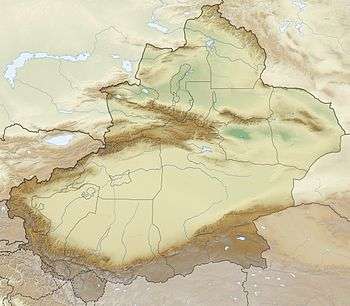
| Location | Turpan Depression, Xinjiang |
| Geology | |
| Mountain type | Cone |
| Last eruption | 1120 ± 150 years |
The Turfan volcano (also the volcano of Ho-tscheu or Bischbalik[2]) is a volcano near the city of Turpan, Xinjiang. Eruptions were recorded during the Song Dynasty,[3] with reports of "frequent smog from the volcano on cloudless days and a nighttime blaze like a torch" in around 1120.[1]
References
- 1 2 "Turfan". Global Volcanism Program. Retrieved 21 August 2011.
- ↑ von Humboldt, Alexander. Aspects of nature in different lands and different climates (Reprint [d. Ausg.] London 1849. ed.). London: Routledge. ISBN 978-0-415-28933-7.
- ↑ Seach, John. "Turfan Volcano, China". Volcano Live. Retrieved 21 August 2011.
This article is issued from Wikipedia - version of the 11/7/2016. The text is available under the Creative Commons Attribution/Share Alike but additional terms may apply for the media files.