Tuqtuqucha Punta
| Tuqtuqucha Punta | |
|---|---|
 Tuqtuqucha Punta Peru | |
| Highest point | |
| Elevation | 4,400 m (14,400 ft) [1] |
| Coordinates | 9°44′25″S 76°29′01″W / 9.74028°S 76.48361°WCoordinates: 9°44′25″S 76°29′01″W / 9.74028°S 76.48361°W |
| Geography | |
| Location | Huánuco Region |
| Parent range | Andes |
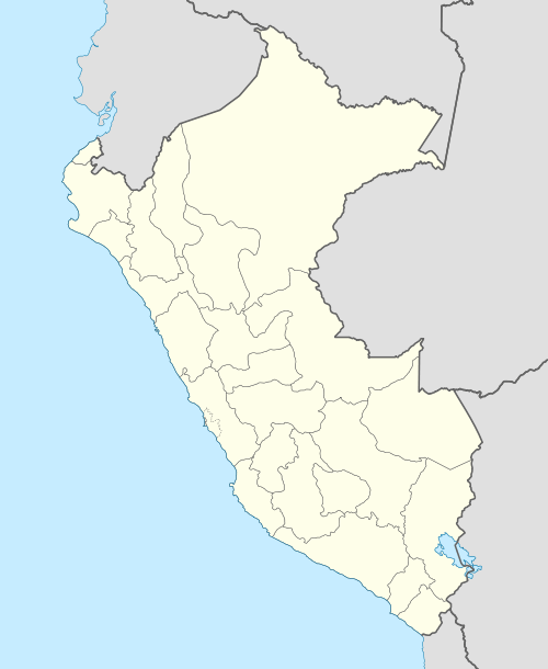
Tuqtuqucha Punta (Quechua tuqtu broody hen, qucha lake, punta peak; ridge; first, before, in front of,[2][3][4] "hen lake peak", also spelled Tuctococha Punta) is a mountain in the Andes of Peru which reaches a height of approximately 4,400 m (14,400 ft). It is located in the Huánuco Region, Huánuco Province, Santa María del Valle District, and in the Yarowilca Province, on the border of the districts of Aparicio Pomares and Chavinillo. It lies north of a lake named Tuqtuqucha.[1]
References
- 1 2 escale.minedu.gob.pe - UGEL map of the Dos de Mayo Province (Huánuco Region)
- ↑ Teofilo Laime Ajacopa, Diccionario Bilingüe Iskay simipi yuyayk'ancha, La Paz, 2007 (Quechua-Spanish dictionary)
- ↑ David Weber, A Grammar of Huallaga (Huánuco) Quechua, University of California Press, p. 185
- ↑ "Vocabulario comparativo, quechua ecuatoriano - quechua ancashino - castellano - English, Brighton 2006" (PDF). Robert Beér, Armando Muyolemaj, Dr. Hernán S. Aguilarpaj. Retrieved March 13, 2016.
This article is issued from Wikipedia - version of the 3/13/2016. The text is available under the Creative Commons Attribution/Share Alike but additional terms may apply for the media files.