Trostian
| Trostian | |
|---|---|
| Тростян | |
 Trostian Ukraine | |
| Highest point | |
| Elevation | 1,232 m (4,042 ft) |
| Listing | Country high point |
| Coordinates | 48°51′24″N 23°23′31″E / 48.85667°N 23.39194°ECoordinates: 48°51′24″N 23°23′31″E / 48.85667°N 23.39194°E |
| Geography | |
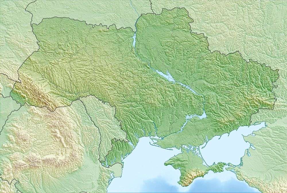
| Location | Lviv Oblast, Ukraine |
| Parent range | Skole Beskids |
Trostian (Ukrainian: Тростя́н) – mountain peak in an array Skole Beskids (Ukrainian Carpathians), peak spine Stryiska-Sanskoyi Verhoviny[1] and limited by valleys Opir River and Holovchanka River. Mountain Trostyan has a height of 1,232 metres (4,042 ft) and the steep (30-40 °) slopes at north-eastern. The top is flat.
Trostian Mountain is located at a distance 2 kilometres (1.2 mi) from the urban village Slavske, 132 kilometres (82 mi) from the regional center of Lviv and 29 kilometres (18 mi) from the district center Skole. The mountain has slopes for skiing in the east, north and west.
Gallery
 Southern slope of the Trostian Mountain.
..JPG) View of Mount Trostian (1235 m)
View of Mount Trostian (1235 m)
References
- ↑ Стрийсько-Сянська Верховина(Ukrainian)
External links
This article is issued from Wikipedia - version of the 7/26/2016. The text is available under the Creative Commons Attribution/Share Alike but additional terms may apply for the media files.