Trokhizbenka
| Trokhizbenka Трьохізбенка | |
|---|---|
| Village | |
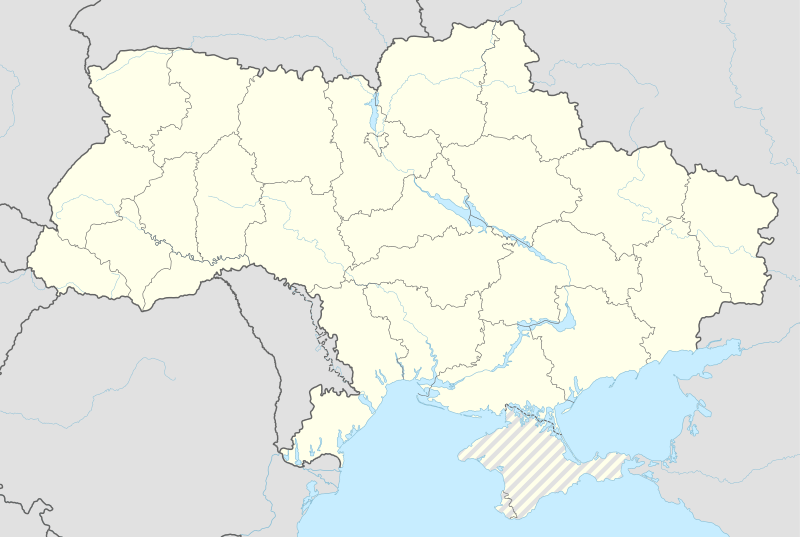 Trokhizbenka Location of Trokhizbenka within Ukraine | |
| Coordinates: UA 48°45′34″N 38°57′48″E / 48.75944°N 38.96333°ECoordinates: UA 48°45′34″N 38°57′48″E / 48.75944°N 38.96333°E | |
| Country |
|
| Province | Luhansk Oblast |
| District | Novoaidar Raion |
| Founded | 1674 |
| Area | |
| • Total | 7.43 km2 (2.87 sq mi) |
| Elevation | 50 m (160 ft) |
| Population (2001 census) | |
| • Total | 2,920 |
| • Density | 390/km2 (1,000/sq mi) |
| Time zone | EET (UTC+2) |
| • Summer (DST) | EEST (UTC+3) |
| Postal code | 93710 |
| Area code | +380 6473 |
Trokhizbenka (Ukrainian: Трьохізбенка; Russian: Трёхизбенка) is a village in Novoaidar Raion (district) in Luhansk Oblast of eastern Ukraine, at about 25 km NW from the centre of Luhansk city, on the left bank of the Siverskyi Donets.
History
The settlement was founded by the Don Cossacks in the first half of the 17th century.
War in Donbass
The village was occupied by pro-Russian troops in the spring of 2014. On 11 July 2014 Ukrainian troops took the village under their control and set up a checkpoint near the bridge over the river.[1] The bridge was blown up on 3 September 2014.[2] The war has brought along both civilian and military casualties.[3]
Demographics
Native language as of the Ukrainian Census of 2001:[4]
- Russian 98.49%
- Ukrainian 1.44%
References
- ↑ Українська армія звільнила від бойовиків село Трьохізбенку на Луганщині. Еспресо.tv. 10.07.2014.
- ↑ В Трьохізбенці на Луганщині втретє підірвали міст. Еспресо.tv. 03.09.2014.
- ↑ "Trokhizbenka: Search results". Information Resistance. Retrieved 2016-03-09.
- ↑ Розподіл населення за рідною мовою на ukrcensus.gov.ua
External links
This article is issued from Wikipedia - version of the 3/13/2016. The text is available under the Creative Commons Attribution/Share Alike but additional terms may apply for the media files.