Transportation in Arkansas
Arkansas' transportation system is used to move Arkansans throughout the state, and out of state travelers across the state.
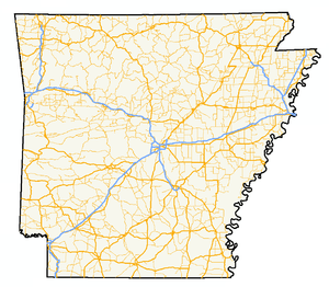
Interstates and highways
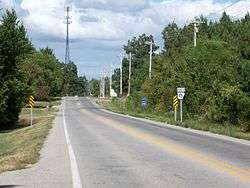
Arkansas first designated a state highway system in 1924, and first numbered its roads in 1926. Arkansas had one of the first paved roads, the Dollarway Road, and one of the first members of the Interstate Highway System. The state maintains a large system of state highways today, in addition to eight Interstates and twenty U.S. Routes.
Air travel
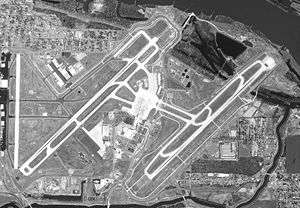
Little Rock National Airport (Adams Field) and Northwest Arkansas Regional Airport in Highfill in Benton County are Arkansas's main air terminals. Passenger service is also available at Fort Smith, as well as limited service at Texarkana, Russellville, Pine Bluff, Harrison, Ozark Regional Airport Mountain Home, Hot Springs, El Dorado and Jonesboro. Many air travelers in eastern Arkansas use Memphis International Airport. There are regional airports in many of Arkansas' 75 counties.
Rail and bus travel
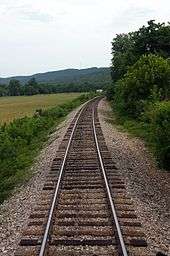
The Amtrak Texas Eagle passenger train makes several stops in Arkansas daily on its run from Chicago to San Antonio to Los Angeles.