Trölladyngja
| Trölladyngja | |
|---|---|
 | |
| Highest point | |
| Elevation | 1,468 m (4,816 ft) |
| Coordinates | 64°53′35″N 17°15′17″W / 64.89306°N 17.25472°WCoordinates: 64°53′35″N 17°15′17″W / 64.89306°N 17.25472°W |
| Geography | |
 Trölladyngja | |
| Geology | |
| Mountain type | shield volcano |
| Last eruption | 5000 years ago |
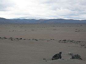
Situated in the Ódáðahraun lava field, Trölladyngja is the biggest of the Icelandic shield volcanoes, reaching a height of 1,468 metres (4,816 ft) above sea level, and rising almost 600 metres above the surrounding desert and lava fields.
It is about 10 kilometres in diameter and its inclination is 4 to 5° in the lower slopes, but 6 to 8° at higher elevations. Its oblong crater is about 1,200 to 1,500 metres in length, 500 metres broad, and about 100 metres deep.
Most of its lava fields have flowed in a northerly direction, with one branch of it reaching the valley of Bárðardalur, a distance of roughly 100 km.
References
This article is issued from Wikipedia - version of the 6/16/2016. The text is available under the Creative Commons Attribution/Share Alike but additional terms may apply for the media files.