Tomakivka
| Tomakivka Томаківка | ||
|---|---|---|
| Urban-type settlement | ||
| ||
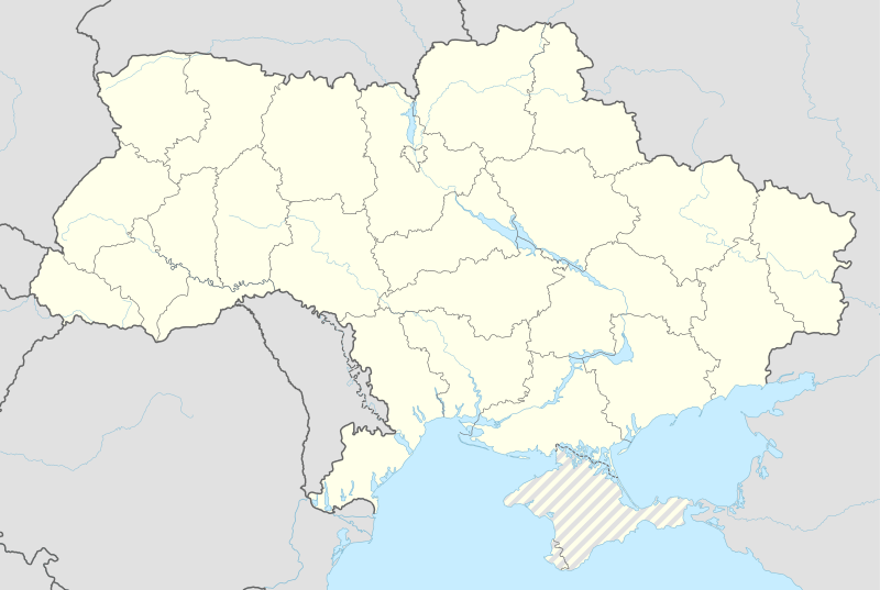 Tomakivka Location of Tomakivka | ||
| Coordinates: 47°49′N 34°44′E / 47.817°N 34.733°ECoordinates: 47°49′N 34°44′E / 47.817°N 34.733°E | ||
| Country |
| |
| Province |
| |
| District | Tomakivka Raion | |
| Sloboda-status | 1777 | |
| Town status | 1956[1] | |
| Government | ||
| • Council Head | Volodymyr Marchenko | |
| Population (2001[1]) | ||
| • Total | 8,090 | |
| Website | tomak.dp.gov.ua | |

Tomakivka (Ukrainian: Томаківка) is an urban-type settlement in Dnipropetrovsk Oblast (province) of southeastern Ukraine. Tomakivka is the administrative center of the Tomakivka Raion (district) in which it is located, housing the local district administration buildings. It is located on confluence of Tomakivka and Kyslichuvata rivers. Population: 7,132 (2013 est.)[2].
In 1535, the first Cossack host (within the modern-day city limits of Marhanets) founded was the Tomakivka Sich, located on the Tomakivka Island near the mouth of the Tomakivka River.[3] In 1552, a permanent settlement was established in the region under the name "Ukhod Tomakivka."[3]
The modern town Tomakivka has direct roots in the former Cossack host on Tomakivka Island. After the autonomy of the Cossack Hetmanate was abolished in 1764, many of such cossack villages were more densely populated. In 1777, Tomakivka was granted sloboda status.
References
- 1 2 "Tomakivka, Dnipropetrovsk Oblast, Tomakivka Raion" (in Ukrainian). Verkhovna Rada of Ukraine. Retrieved 11 January 2012.
- ↑ "Чисельність наявного населення України (Actual population of Ukraine)" (in Ukrainian). State Statistics Service of Ukraine. Retrieved 21 January 2015.
- 1 2 "Tomakivka Raion / News". Tomakivka Raion of Dnipropetrovsk Oblast (in Ukrainian).
External links
- "Tomakivka Raion / News". Tomakivka Raion of Dnipropetrovsk Oblast (in Ukrainian).
| Raions | |||||||
|---|---|---|---|---|---|---|---|
| Cities |
| ||||||
| |||||||