Tibbi Rang
Not to be confused with Tibbi Ranga.
| Tibbi Rang | |
|---|---|
| village | |
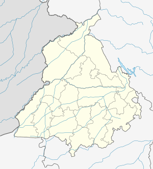 Tibbi Rang  Tibbi Rang Location in Punjab, India | |
| Coordinates: 31°07′08″N 75°04′33″E / 31.118904°N 75.0757157°ECoordinates: 31°07′08″N 75°04′33″E / 31.118904°N 75.0757157°E | |
| Country | India |
| State | Punjab |
| District | Firozpur |
| Tehsil | Zira |
| Elevation | 209 m (686 ft) |
| Population (2011) | |
| • Total | 165 |
| Time zone | IST (UTC+5:30) |
| 2011 census code | 34260 |
Tibbi Rang is a village in the Firozpur district of Punjab, India. It is located in the Zira tehsil.[1]
Demographics
According to the 2011 census of India, Tibbi Rang has 31 households. The effective literacy rate (i.e. the literacy rate of population excluding children aged 6 and below) is 55.8%.[2]
| Total | Male | Female | |
|---|---|---|---|
| Population | 165 | 91 | 74 |
| Children aged below 6 years | 27 | 18 | 9 |
| Scheduled caste | 128 | 69 | 59 |
| Scheduled tribe | 0 | 0 | 0 |
| Literates | 77 | 41 | 36 |
| Workers (all) | 67 | 48 | 19 |
| Main workers (total) | 53 | 40 | 13 |
| Main workers: Cultivators | 21 | 19 | 2 |
| Main workers: Agricultural labourers | 28 | 18 | 10 |
| Main workers: Household industry workers | 0 | 0 | 0 |
| Main workers: Other | 4 | 3 | 1 |
| Marginal workers (total) | 14 | 8 | 6 |
| Marginal workers: Cultivators | 0 | 0 | 0 |
| Marginal workers: Agricultural labourers | 13 | 8 | 5 |
| Marginal workers: Household industry workers | 1 | 0 | 1 |
| Marginal workers: Others | 0 | 0 | 0 |
| Non-workers | 98 | 43 | 55 |
References
- ↑ "Punjab village directory" (PDF). Government of India. Retrieved 2015-10-08.
- 1 2 "District Census Handbook – Firozpur (incl. Fazilka)". 2011 Census of India. Directorate of Census Operations, Punjab. Retrieved 2015-10-08.
This article is issued from Wikipedia - version of the 8/25/2016. The text is available under the Creative Commons Attribution/Share Alike but additional terms may apply for the media files.