Theodolite Hill
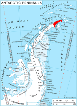
Location of Trinity Peninsula.
Theodolite Hill (63°29′S 57°35′W / 63.483°S 57.583°WCoordinates: 63°29′S 57°35′W / 63.483°S 57.583°W) is a hill, 680 m, with a small rock outcrop at its summit, standing at the southeast corner of Laclavère Plateau 5 nautical miles (9 km) west of the northwest end of Duse Bay, in the northeast part of Trinity Peninsula. Discovered by the Falkland Islands Dependencies Survey (FIDS), 1946, and so named during their survey of the area because it served as an important theodolite station.
Map
- Trinity Peninsula. Scale 1:250000 topographic map No. 5697. Institut für Angewandte Geodäsie and British Antarctic Survey, 1996.
![]() This article incorporates public domain material from the United States Geological Survey document "Theodolite Hill" (content from the Geographic Names Information System).
This article incorporates public domain material from the United States Geological Survey document "Theodolite Hill" (content from the Geographic Names Information System).
This article is issued from Wikipedia - version of the 11/21/2015. The text is available under the Creative Commons Attribution/Share Alike but additional terms may apply for the media files.