Terningen Lighthouse
.jpg) View of the lighthouse | |
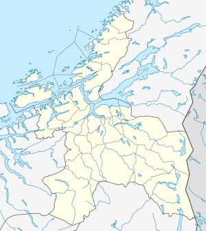 Sør-Trøndelag | |
| Location |
Hitra Sør-Trøndelag Norway |
|---|---|
| Coordinates | 63°29′37.8″N 09°02′19.6″E / 63.493833°N 9.038778°ECoordinates: 63°29′37.8″N 09°02′19.6″E / 63.493833°N 9.038778°E |
| Year first constructed | 1833 |
| Automated | 1991 |
| Construction | concrete tower |
| Tower shape | square parallelepiped tower with balcony and lantern |
| Markings / pattern | white tower, red lantern roof |
| Height | 12 metres (39 ft) |
| Focal height | 17.8 metres (58 ft) |
| Intensity | 30,700 candela |
| Range | 13.4 nmi (24.8 km; 15.4 mi) |
| Characteristic | Oc WRG 6s. |
| Fog signal | Horn |
| Admiralty number | L1170 |
| NGA number | 7052 |
| ARLHS number | NOR-247 |
| Norway number | NF-4075[1] |
Terningen Lighthouse (Norwegian: Terningen fyr) is a lighthouse in the municipality of Hitra in Sør-Trøndelag county, Norway. The lighthouse is located in the Trondheimsleia near the mouth of the Hemnfjorden, just west of the island of Hemnskjela, and about 4 kilometres (2.5 mi) southwest of the village of Sandstad.
The 12-metre (39 ft) tall lighthouse has an occulting light that flashes white, red, and green. The light can be seen for up to 13.4 nautical miles (24.8 km; 15.4 mi).[2] The light is activated from July 21 until May 16 each year. The light is inactive and unnecessary during the late spring and early summer due to the midnight sun.[3]
See also
References
- ↑ Hitra and Frøya The Lighthouse Directory. University of North Carolina at Chapel Hill. Retrieved March 7, 2016
- ↑ Kystverket (2008). Norske Fyrliste 2008 (PDF) (in Norwegian). ISBN 978-82-450-0628-5.
- ↑ Store norske leksikon. "Terningen fyr" (in Norwegian). Retrieved 2010-12-28.
External links
- Norsk Fyrhistorisk Forening (Norwegian)
| Wikimedia Commons has media related to Terningen fyr. |
This article is issued from Wikipedia - version of the 3/8/2016. The text is available under the Creative Commons Attribution/Share Alike but additional terms may apply for the media files.