Te Hapua
| Te Hapua | |
|---|---|
 Te Hapua | |
| Coordinates: 34°31′2″S 172°54′45″E / 34.51722°S 172.91250°ECoordinates: 34°31′2″S 172°54′45″E / 34.51722°S 172.91250°E | |
| Country | New Zealand |
| Region | Northland Region |
| District | Far North District |
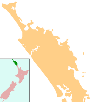
Te Hapua is a community on the shores of the Parengarenga Harbour in Northland, New Zealand. The road to Te Hapua leaves State Highway 1 at Waitiki Landing.[1] Te Hapua is the most northerly settlement in the North Island of New Zealand.
Matiu Rata, Cabinet Minister in the Third Labour Government in the 1970s and founder of the Mana Motuhake party, was born in Te Hapua in 1934.[2]
The 1975 Māori land march left Te Hapua for Wellington on 14 September 1975 (Maori Language Day).[3]
Education
Te Hapua School is a coeducational full primary (years 1-8) school with a decile rating of 1 and a roll of 28.[4] It is New Zealand's northernmost school.
Notes
- ↑ Peter Dowling (editor) (2004). Reed New Zealand Atlas. Reed Books. pp. map 2. ISBN 0-7900-0952-8.
- ↑ David Barber (28 July 1997). "Obituary: Matiu Rata". The Independent.
- ↑ Metge, Joan (2004). Rautahi: The Maoris Of New Zealand. p. 112. ISBN 0415330572.
- ↑ "Te Kete Ipurangi - Te Hapua School". Ministry of Education.

Te Hapua Wharf

Ratana church at Te Hapua
External links
| Wikimedia Commons has media related to Te Hapua. |
This article is issued from Wikipedia - version of the 11/1/2016. The text is available under the Creative Commons Attribution/Share Alike but additional terms may apply for the media files.