Taylorville, California
| Taylorville | |
|---|---|
| Former settlement | |
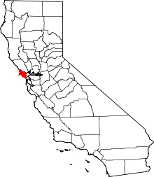
 Taylorville Location in California | |
| Coordinates: 38°01′45″N 122°44′27″W / 38.02917°N 122.74083°WCoordinates: 38°01′45″N 122°44′27″W / 38.02917°N 122.74083°W | |
| Country | United States |
| State | California |
| County | Marin County |
| Elevation[1] | 141 ft (43 m) |
Taylorville is a former settlement in Marin County, California.[1] It was located on the Northwestern Pacific Railroad 11 miles (18 km) west-southwest of downtown Novato,[2] at an elevation of 141 feet (43 m).[1] Taylorville still appeared on maps as of 1914.[1]
The name honors Samuel P. Taylor, founder of the first paper mill on the West Coast.[2]
References
This article is issued from Wikipedia - version of the 12/30/2012. The text is available under the Creative Commons Attribution/Share Alike but additional terms may apply for the media files.