Tawern
| Tawern | ||
|---|---|---|
| ||
 Tawern | ||
Location of Tawern within Trier-Saarburg district 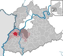 | ||
| Coordinates: 49°40′20″N 6°31′01″E / 49.67222°N 6.51694°ECoordinates: 49°40′20″N 6°31′01″E / 49.67222°N 6.51694°E | ||
| Country | Germany | |
| State | Rhineland-Palatinate | |
| District | Trier-Saarburg | |
| Municipal assoc. | Konz | |
| Government | ||
| • Mayor | Josef Weirich (CDU) | |
| Area | ||
| • Total | 10.08 km2 (3.89 sq mi) | |
| Population (2015-12-31)[1] | ||
| • Total | 2,624 | |
| • Density | 260/km2 (670/sq mi) | |
| Time zone | CET/CEST (UTC+1/+2) | |
| Postal codes | 54456 | |
| Dialling codes | 06501 | |
| Vehicle registration | TR | |

Tawern is a municipality in the Trier-Saarburg district, in Rhineland-Palatinate, Germany.
History
From 18 July 1946 to 6 June 1947 Tawern, in its then municipal boundary, formed part of the Saar Protectorate.
References
- ↑ "Gemeinden in Deutschland mit Bevölkerung am 31. Dezember 2015" (PDF). Statistisches Bundesamt (in German). 2016.
This article is issued from Wikipedia - version of the 6/21/2015. The text is available under the Creative Commons Attribution/Share Alike but additional terms may apply for the media files.