Tathall End
Coordinates: 52°06′51″N 0°48′11″W / 52.1141°N 0.8030°W
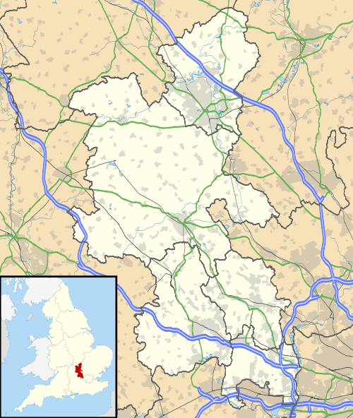
Tathall End is a hamlet in the civil parish of Hanslope (where the 2011 Census population was included), Buckinghamshire. It is 1 mile from Hanslope village, and 3 miles from Castlethorpe. The River Tove flows through it. Several properties date back to the 17th Century, including Tathall End Farmhouse, dated at 1640.
This article is issued from Wikipedia - version of the 11/27/2016. The text is available under the Creative Commons Attribution/Share Alike but additional terms may apply for the media files.