Tana Bru
This article is about the village in Tana, Norway. For the bridge in Tana, Norway (known as "Tana bru" in Norwegian), see Tana Bridge.
| Tana bru Deanušaldi | |
|---|---|
| Village | |
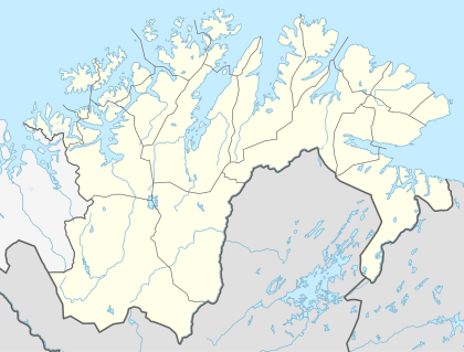 Tana bru  Tana bru Location in Finnmark | |
| Coordinates: 70°11′56″N 28°11′25″E / 70.19889°N 28.19028°ECoordinates: 70°11′56″N 28°11′25″E / 70.19889°N 28.19028°E | |
| Country | Norway |
| Region | Northern Norway |
| County | Finnmark |
| District | Øst-Finnmark |
| Municipality | Deatnu-Tana |
| Area[1] | |
| • Total | 0.94 km2 (0.36 sq mi) |
| Elevation[2] | 23 m (75 ft) |
| Population (2013)[1] | |
| • Total | 668 |
| • Density | 711/km2 (1,840/sq mi) |
| Time zone | CET (UTC+01:00) |
| • Summer (DST) | CEST (UTC+02:00) |
| Post Code | 9845 Tana |
Tana bru (Northern Sami: Deanušaldi) is the administrative centre of Deatnu-Tana Municipality in Finnmark county, Norway. The village lies on the western bank of the Tana River, along the European route E06 highway. The 0.94-square-kilometre (230-acre) village has a population (2013) of 668, which gives the village a population density of 711 inhabitants per square kilometre (1,840/sq mi).[1][3]
The village is named "Tana bru" which means "Tana Bridge" in Norwegian, and the actual Tana Bridge (on the E6 highway) crosses the river at this village, connecting Tana bru to the village of Skiippagurra on the other side of the river.
References
- 1 2 3 Statistisk sentralbyrå (1 January 2013). "Urban settlements. Population and area, by municipality.".
- ↑ "Tana bru" (in Norwegian). yr.no. Retrieved 2013-03-25.
- ↑ Store norske leksikon. "Tana bru – tettsted" (in Norwegian). Retrieved 2013-03-25.
This article is issued from Wikipedia - version of the 11/30/2016. The text is available under the Creative Commons Attribution/Share Alike but additional terms may apply for the media files.