Talamalla
| Talamalla | |
|---|---|
| village | |
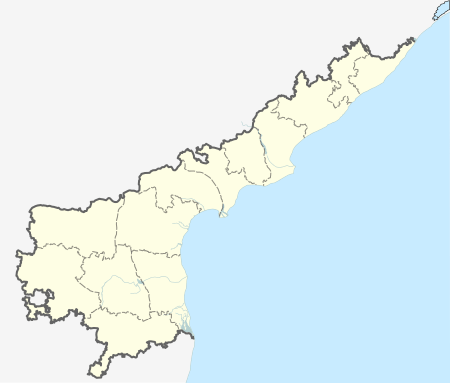
 Talamalla  Talamalla Location in Andhra Pradesh, India | |
| Coordinates: 15°35′39″N 79°43′21″E / 15.594104°N 79.722437°ECoordinates: 15°35′39″N 79°43′21″E / 15.594104°N 79.722437°E | |
| Country |
|
| State | Andhra Pradesh |
| District | Prakasam |
| Languages | |
| • Official | Telugu |
| Time zone | IST (UTC+5:30) |
| PIN | 523253 |
| Vehicle registration | AP-27z |
| Nearest city | Ongole |
Talamalla is a village of Podili mandal in Prakasam district, Andhra Pradesh. It is on the banks of a rivulet called Musi. It is an independent panchayat with population of around 3000. It is famous for its sand reserves. Talamalla is blessed with a wonderful Pond. Despite being located on the "Ongole to Kurnool" main road the village has not tasted the fruits of development. The rate of literacy in the village is very less. The main occupation of these villagers is farming throughout the year. Since the village is situated around 45 km far from "Bay of Bengal" the weather condition in the village are extremely vary throughout the year.
Major crops cultivated: 1. Tobacco 2. Paddy 3. Toor Dal 4. Black eyed peas 5. Jowar 6. Millets etc.,
Pilgrimages near by:
Talamalla has some famous pilgrimages and temples near its locality. A few of them are
1. Prudhilapura Lord Narasimha's temple 2. Ramatheertham 3. Nimna maheswara temple - Podili 4. Ganga Bhavani temple - Gunti Ganga