Tajarhi
| Tajarhi تجرهي | |
|---|---|
| Village | |
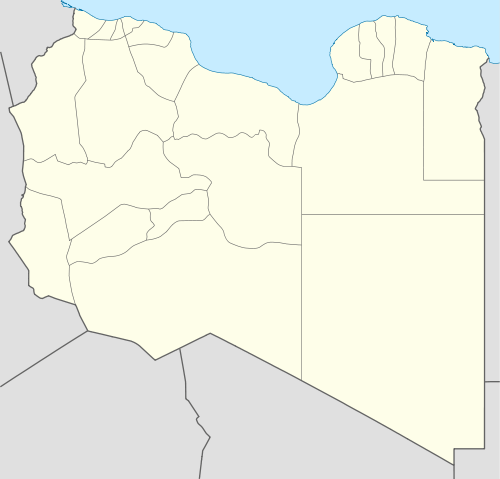 Tajarhi Location in Libya | |
| Coordinates: 24°15′44″N 14°33′37″E / 24.26222°N 14.56028°ECoordinates: 24°15′44″N 14°33′37″E / 24.26222°N 14.56028°E | |
| Country |
|
| Region | Fezzan |
| District | Murzuq |
| Elevation[1] | 1,710 ft (520 m) |
| Population (2006)[2] | |
| • Total | 1,496 |
| Time zone | EET (UTC+2) |
Tajarhi, Tegerhi or Tajirhi (Arabic: تجرهي) is an oasis and crossroads village in the Murzuq District of Libya. It lies in the Sahara Desert and is the last refueling point in Libya before reaching Madama, the Niger frontier station, some 282 kilometers to the south,[3] or 361 km by track.[4] Tajarhi has an airstrip (HL-57) south of town.[3]
History
Tajarhi was the southern most village in Fezzan and sat on the desert trade routes to the Niger River, Lake Chad and the Sudan.[5] Among the goods traded north were slaves,[6] and the trade in slaves through Tajarhi increased after Tunisia and Algeria abolished the trade in 1846 and 1848, respectively.[7]
Tajarhi was described by George Lyon in 1819 as a lush oasis with groves of date palms and wild ducks on the brackish lakes.[5]
Notes
- ↑ Google Earth
- ↑ "Libya - Murzuq: Administrative units" GeoHive
- 1 2 "Tajarhi, Libya" Falling Rain Genomics, Inc.
- ↑ "TAD 05 Tajarhi Madama" Wikiloc, with map
- 1 2 Bruce-Lockhart, Jamie (2008) A sailor in the Sahara: the life and travels in Africa of Hugh Clapperton, , Commander RN I. B. Tauris, London, pages 102-103, ISBN 978-1-84511-479-4
- ↑ Lovejoy, Paul E. (2004) Slavery on the frontiers of Islam Markus Wiener Publishers, Princeton, New Jersey, page 41, ISBN 1-55876-328-7
- ↑ Abun-Nasr, Jamil M. (1987) A History of the Maghrib in the Islamic Period Cambridge University Press, Cambridge, UK, page 316, ISBN 0-521-33767-4
External links
- "Tajarhi Map — Satellite Images of Tajarhi" Maplandia
- "Libia - Wan Am Hamus", in Italian
| Capital | ||
|---|---|---|
| Towns and villages | ||