Tønjum
| Tønjum | |
|---|---|
| Village | |
|
View of the local church | |
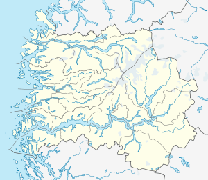 Tønjum  Tønjum Location in Sogn og Fjordane county | |
| Coordinates: 61°03′30″N 07°31′06″E / 61.05833°N 7.51833°ECoordinates: 61°03′30″N 07°31′06″E / 61.05833°N 7.51833°E | |
| Country | Norway |
| Region | Western Norway |
| County | Sogn og Fjordane |
| District | Sogn |
| Municipality | Lærdal Municipality |
| Elevation[1] | 35 m (115 ft) |
| Time zone | CET (UTC+01:00) |
| • Summer (DST) | CEST (UTC+02:00) |
| Post Code | 6887 Lærdal |
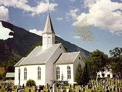
Tønjum is a village in Lærdal Municipality in Sogn og Fjordane county, Norway. The village is located along the river Lærdalselvi, about 5 kilometres (3.1 mi) southeast of the municipal centre of Lærdalsøyri. The eastern end of the Lærdal Tunnel (part of the European route E16 highway) is located just north of Tønjum. The highway leaves the tunnel and heads south through Tønjum, past Tønjum Church, and then east towards the village of Borgund and the Filefjell mountains.[2]
The village is primarily a farming village with assorted vegetable production as their main occupation. In recent years, the growing of cherries has become more prevalent.
References
This article is issued from Wikipedia - version of the 8/1/2016. The text is available under the Creative Commons Attribution/Share Alike but additional terms may apply for the media files.