Suideroord
| Suideroord | |
|---|---|
 Suideroord  Suideroord  Suideroord
| |
|
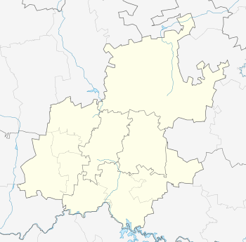
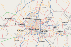
Location within Greater Johannesburg  Suideroord | |
| Coordinates: 26°16′19″S 28°01′41″E / 26.272°S 28.028°ECoordinates: 26°16′19″S 28°01′41″E / 26.272°S 28.028°E | |
| Country | South Africa |
| Province | Gauteng |
| Municipality | City of Johannesburg |
| Main Place | Johannesburg |
| Area[1] | |
| • Total | 1.41 km2 (0.54 sq mi) |
| Population (2011)[1] | |
| • Total | 3,556 |
| • Density | 2,500/km2 (6,500/sq mi) |
| Racial makeup (2011)[1] | |
| • Black African | 33.3% |
| • Coloured | 11.8% |
| • Indian/Asian | 17.2% |
| • White | 35.2% |
| • Other | 2.5% |
| First languages (2011)[1] | |
| • English | 57.0% |
| • Afrikaans | 13.6% |
| • Zulu | 10.0% |
| • Sotho | 5.1% |
| • Other | 14.2% |
| Postal code (street) | 2091 |
Suideroord is a suburb of Johannesburg, South Africa. It is located in Region F.
The suburb is divided into two areas, namely Suideroord North and Suideroord South.
The Suideroord South Community Forum was established to manage and assist with community initiatives. Most notably the neighbourhood security patrols and the fencing project which aims to fence off the open stretch of land between Potgieter Road and Kiliprivier Road.
References
- 1 2 3 4 "Sub Place Suideroord". Census 2011.
This article is issued from Wikipedia - version of the 9/3/2013. The text is available under the Creative Commons Attribution/Share Alike but additional terms may apply for the media files.