Stronsay Airport
"SOY" redirects here. For other uses, see Soy (disambiguation).
| Stronsay Airport | |||||||||||||||||||
|---|---|---|---|---|---|---|---|---|---|---|---|---|---|---|---|---|---|---|---|
.jpg) Terminal building and windsock | |||||||||||||||||||
| IATA: SOY – ICAO: EGER | |||||||||||||||||||
| Summary | |||||||||||||||||||
| Airport type | Private | ||||||||||||||||||
| Operator | Orkney Islands Council | ||||||||||||||||||
| Serves | Stronsay | ||||||||||||||||||
| Elevation AMSL | 39 ft / 12 m | ||||||||||||||||||
| Coordinates | 59°09′19″N 002°38′29″W / 59.15528°N 2.64139°WCoordinates: 59°09′19″N 002°38′29″W / 59.15528°N 2.64139°W | ||||||||||||||||||
| Map | |||||||||||||||||||
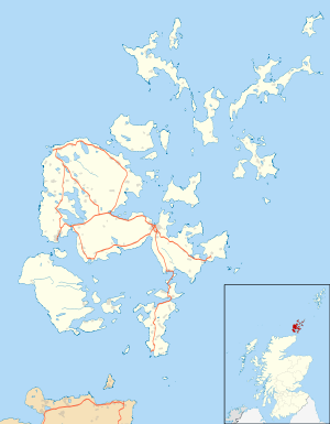 EGER Location in Orkney | |||||||||||||||||||
| Runways | |||||||||||||||||||
| |||||||||||||||||||
Stronsay Airport (IATA: SOY, ICAO: EGER) is located 15 nautical miles (28 km; 17 mi) northeast by north of Kirkwall Airport on Stronsay, Orkney Islands, Scotland.
Stronsay Aerodrome has a CAA Ordinary Licence (Number P540) that allows flights for the public transport of passengers or for flying instruction as authorised by the licensee (Orkney Islands Council). The aerodrome is not licensed for night use.[2]
Airlines and destinations
| Airlines | Destinations |
|---|---|
| Loganair | Kirkwall, Sanday |
References
External links
This article is issued from Wikipedia - version of the 12/4/2016. The text is available under the Creative Commons Attribution/Share Alike but additional terms may apply for the media files.