Straumøya
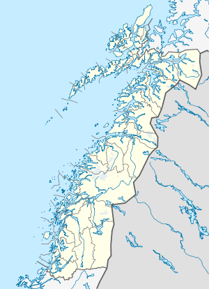 Straumøya Location in Nordland | |
| Geography | |
|---|---|
| Location | Nordland, Norway |
| Coordinates | 67°12′44″N 14°27′55″E / 67.2121°N 14.4653°ECoordinates: 67°12′44″N 14°27′55″E / 67.2121°N 14.4653°E |
| Area | 29.7 km2 (11.5 sq mi) |
| Length | 12 km (7.5 mi) |
| Width | 3 km (1.9 mi) |
| Highest elevation | 260 m (850 ft) |
| Highest point | Varden |
| Administration | |
| County | Nordland |
| Municipality | Bodø |
Straumøya is an island in the municipality of Bodø in Nordland county, Norway. The 29.7-square-kilometre (11.5 sq mi) island is located on the south side of the Saltfjorden, just east of the Saltstraumen strait. The island is connected to the mainland by the Indre Sunnan Bridge and to the nearby Knaplundsøya island by the Saltstraumen Bridge, both bridges are a part of Norwegian County Road 17.[1]
Places there include Seinesodden naturreservat and Seines and its associated surfing[2] spot.
References
- ↑ Store norske leksikon. "Straumøya" (in Norwegian). Retrieved 2012-03-12.
- ↑ – En helt ufattelig naturopplevelse
This article is issued from Wikipedia - version of the 11/28/2016. The text is available under the Creative Commons Attribution/Share Alike but additional terms may apply for the media files.