Storkenkopf
| Storkenkopf | |
|---|---|
 The Storkenkopf | |
| Highest point | |
| Elevation | 1,366 m (4,482 ft) [1] |
| Prominence | 133 m (436 ft) [2] |
| Coordinates | 47°54′17″N 7°04′56″E / 47.90472°N 7.08222°ECoordinates: 47°54′17″N 7°04′56″E / 47.90472°N 7.08222°E |
| Geography | |
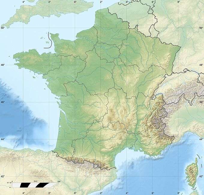 Storkenkopf France | |
| Location | Alsace, France |
| Parent range | Vosges Mountains |
The Storkenkopf is the second highest summit of the Vosges Mountains. It is located in the French region of Alsace, close to the Grand Ballon.
Etymology

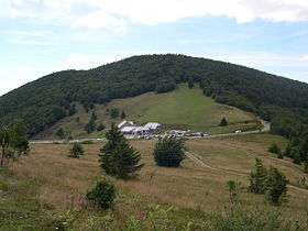
View on the central part of Vosges mountains from the Storkenkopf - August the 15th, 2005
In German and in Alsatian Storkenkopf means Storks' head.
Geography
The mountain is divided between the French municipalities of Saint-Amarin, Geishouse and Lautenbachzell, all belonging to the Haut-Rhin department.[1] Nearby the mountain's top there is the ferme du Haag, a farm which also provides accommodation.[3]
Access to the summit
The well known Route des Crêtes (French for road of the peaks) transits not faraway from the top of the mountain, which is possible to reach on foot following a forest service road of about 2 km.[4]
See also
References
- 1 2 IGN maps available on Géoportail
- ↑ Storkenkopf, web-page on www.peakbagger.com
- ↑ Ferme auberge du Haag - Geishouse, farm's web site www.jds.fr/geishouse
- ↑ Le tour des Vosges en 365 jours - Storkenkopf, article on www.vosges-rando.net
| Wikimedia Commons has media related to Storkenkopf. |
This article is issued from Wikipedia - version of the 6/17/2016. The text is available under the Creative Commons Attribution/Share Alike but additional terms may apply for the media files.